MyTopo
Dewey Lake NE Texas US Topo Map
Couldn't load pickup availability
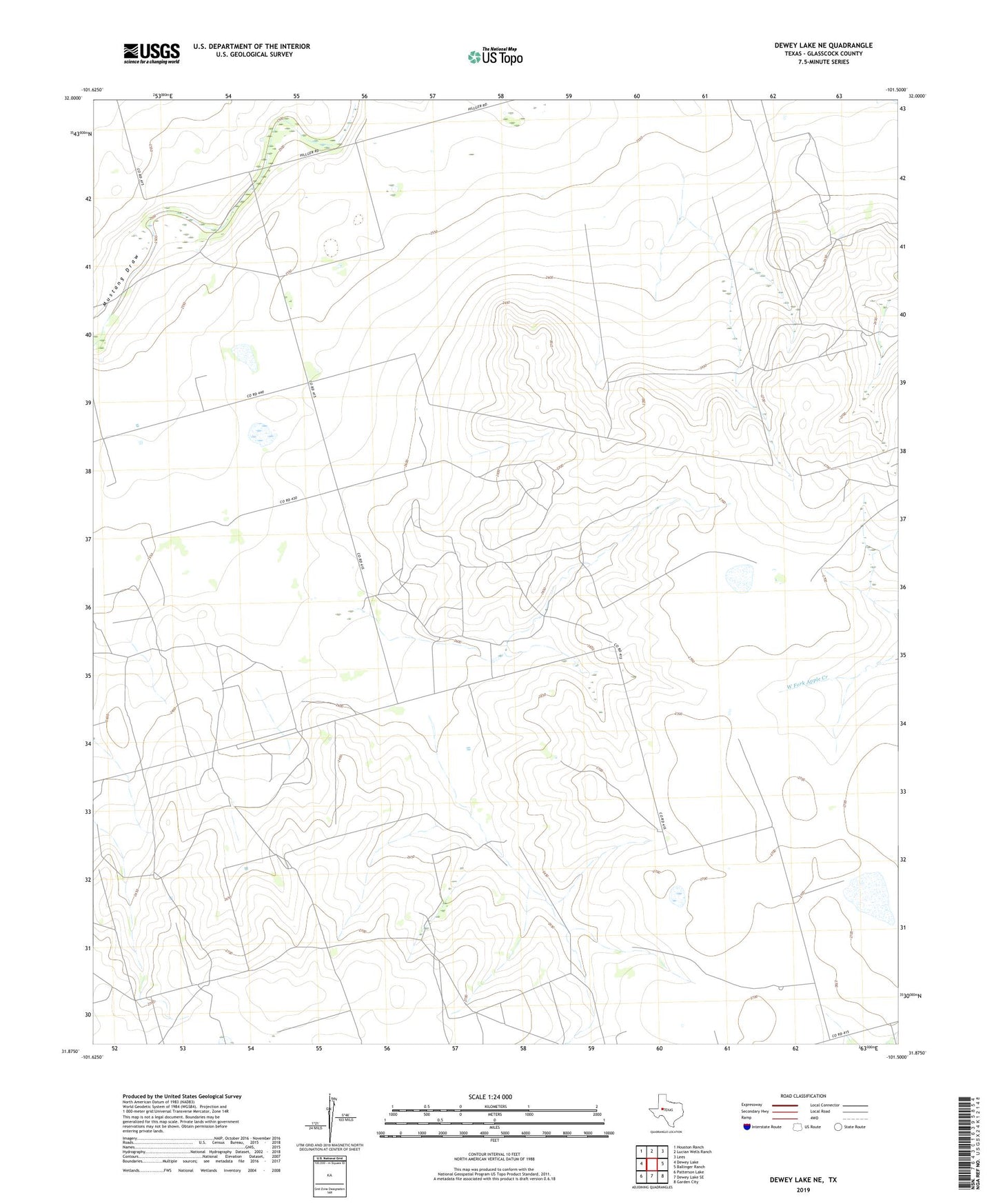
2022 topographic map quadrangle Dewey Lake NE in the state of Texas. Scale: 1:24000. Based on the newly updated USGS 7.5' US Topo map series, this map is in the following counties: Glasscock. The map contains contour data, water features, and other items you are used to seeing on USGS maps, but also has updated roads and other features. This is the next generation of topographic maps. Printed on high-quality waterproof paper with UV fade-resistant inks.
Quads adjacent to this one:
West: Dewey Lake
Northwest: Houston Ranch
North: Lucian Wells Ranch
Northeast: Lees
East: Ballinger Ranch
Southeast: Garden City
South: Dewey Lake SE
Southwest: Patterson Lake
This map covers the same area as the classic USGS quad with code o31101h5.
Contains the following named places: Crows Nest Windmill, Garden City North Division, Salt Lake Windmill, Sand Windmill, Shell Windmill, South Windmill