MyTopo
Dewey Lake Texas US Topo Map
Couldn't load pickup availability
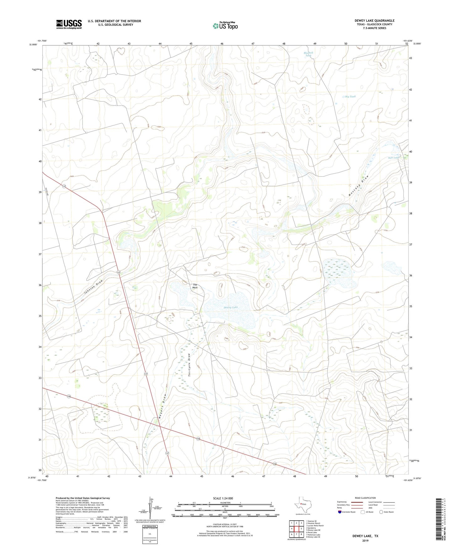
2022 topographic map quadrangle Dewey Lake in the state of Texas. Scale: 1:24000. Based on the newly updated USGS 7.5' US Topo map series, this map is in the following counties: Glasscock. The map contains contour data, water features, and other items you are used to seeing on USGS maps, but also has updated roads and other features. This is the next generation of topographic maps. Printed on high-quality waterproof paper with UV fade-resistant inks.
Quads adjacent to this one:
West: Spraberry
Northwest: Stanton SE
North: Houston Ranch
Northeast: Lucian Wells Ranch
East: Dewey Lake NE
Southeast: Dewey Lake SE
South: Patterson Lake
Southwest: Pecks Lake
This map covers the same area as the classic USGS quad with code o31101h6.
Contains the following named places: Big Tank, Bluebell Tank, China Lake, Dewey Lake, Johnson Draw, Meyers Draw, Powell Ranch, Salt Lake, The Neck, Thirtysix Draw, White Lake