MyTopo
Margaret Texas US Topo Map
Couldn't load pickup availability
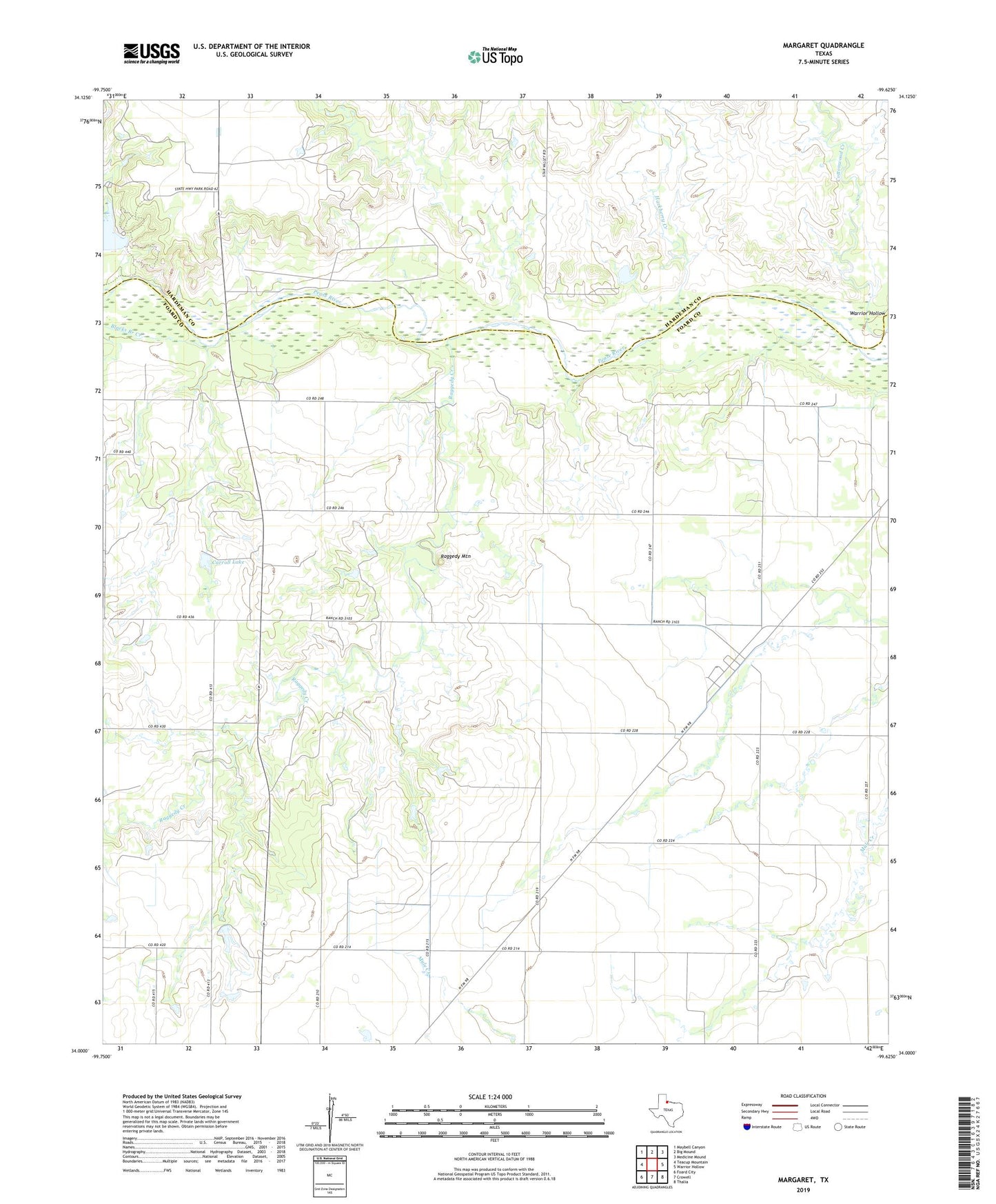
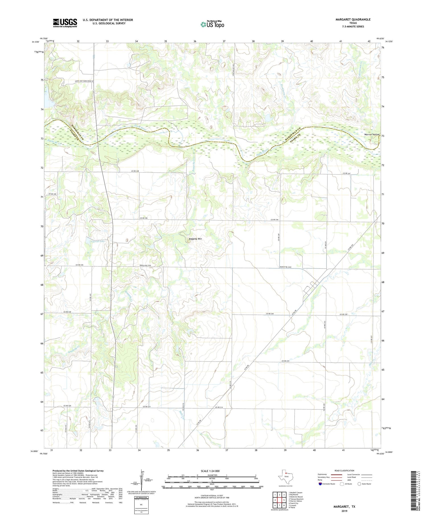
2019 topographic map quadrangle Margaret in the state of Texas. Scale: 1:24000. Based on the newly updated USGS 7.5' US Topo map series, this map is in the following counties: Foard, Hardeman. The map contains contour data, water features, and other items you are used to seeing on USGS maps, but also has updated roads and other features. This is the next generation of topographic maps. Printed on high-quality waterproof paper with UV fade-resistant inks.
Quads adjacent to this one:
West: Teacup Mountain
Northwest: Maybell Canyon
North: Big Mound
Northeast: Medicine Mound
East: Warrior Hollow
Southeast: Thalia
South: Crowell
Southwest: Foard City
Contains the following named places: Blacks Branch Creek, Carroll Lake, Carroll Lake Dam, Copper Breaks State Park Dam, Cottonwood Creek, Devils Creek, Hackberry Creek, Lake Copper Breaks, Margaret, Raggedy Creek, Raggedy Mountain