MyTopo
Maybell Canyon Texas US Topo Map
Couldn't load pickup availability
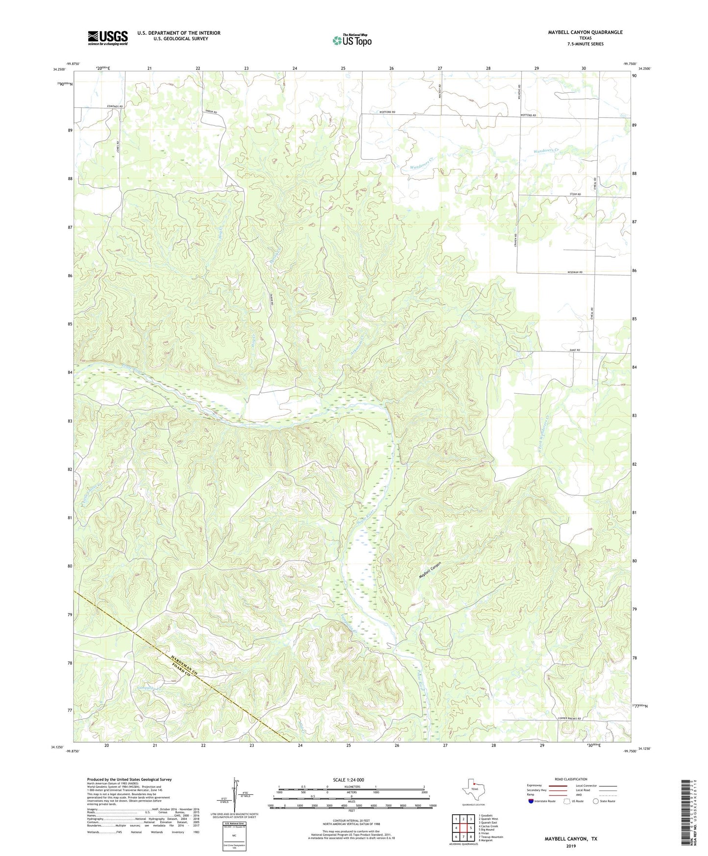
2019 topographic map quadrangle Maybell Canyon in the state of Texas. Scale: 1:24000. Based on the newly updated USGS 7.5' US Topo map series, this map is in the following counties: Hardeman, Foard. The map contains contour data, water features, and other items you are used to seeing on USGS maps, but also has updated roads and other features. This is the next generation of topographic maps. Printed on high-quality waterproof paper with UV fade-resistant inks.
Quads adjacent to this one:
West: Cactus Creek
Northwest: Goodlett
North: Quanah West
Northeast: Quanah East
East: Big Mound
Southeast: Margaret
South: Teacup Mountain
Southwest: Vivian
Contains the following named places: Arkansas Creek, Big Pond Dam, Big Pond Reservoir, Hog Creek, Kimble County Library, Little Cactus Creek, Maybell Canyon, Seven L Crossing, Spring Creek, Yampalita Creek