MyTopo
Morgan Mill Texas US Topo Map
Couldn't load pickup availability
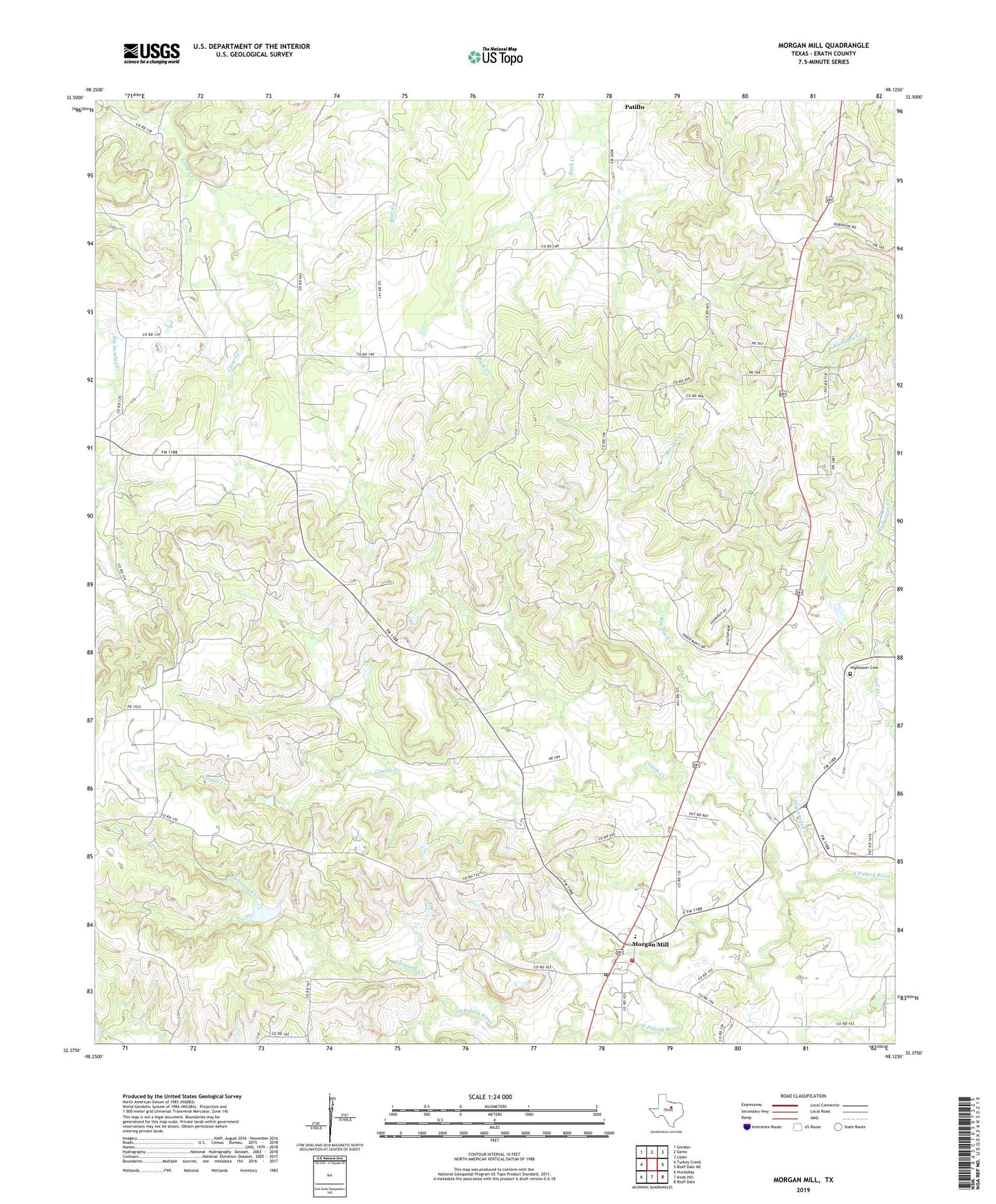
2019 topographic map quadrangle Morgan Mill in the state of Texas. Scale: 1:24000. Based on the newly updated USGS 7.5' US Topo map series, this map is in the following counties: Erath. The map contains contour data, water features, and other items you are used to seeing on USGS maps, but also has updated roads and other features. This is the next generation of topographic maps. Printed on high-quality waterproof paper with UV fade-resistant inks.
Quads adjacent to this one:
West: Turkey Creek
Northwest: Gordon
North: Santo
Northeast: Lipan
East: Bluff Dale NE
Southeast: Bluff Dale
South: Knob Hill
Southwest: Huckabay
Contains the following named places: Bee Dee Creek, Clear Creek, Counts Creek, Germany Creek, Hightower Cemetery, Hightower Creek, Morgan Mill, Morgan Mill Post Office, Morgan Mill Volunteer Fire Department Station 1, Morgan Mill-Bluff Dale Division, Sapoak