MyTopo
Bluff Dale NE Texas US Topo Map
Couldn't load pickup availability
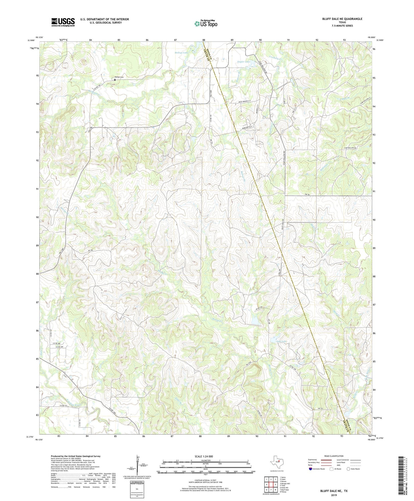
2022 topographic map quadrangle Bluff Dale NE in the state of Texas. Scale: 1:24000. Based on the newly updated USGS 7.5' US Topo map series, this map is in the following counties: Erath, Hood. The map contains contour data, water features, and other items you are used to seeing on USGS maps, but also has updated roads and other features. This is the next generation of topographic maps. Printed on high-quality waterproof paper with UV fade-resistant inks.
Quads adjacent to this one:
West: Morgan Mill
Northwest: Santo
North: Lipan
Northeast: Dennis
East: Tolar
Southeast: Paluxy
South: Bluff Dale
Southwest: Knob Hill
This map covers the same area as the classic USGS quad with code o32098d1.
Contains the following named places: Baileys Lake, Bishop Cemetery, East Branch Wolf Creek, Engler Lake, Engler Lake Dam, Houston Ranch, Nail Creek, Nutt Lake, Nutt Lake Dam, Soil Conservation Service Site Number 14 Dam, Soil Conservation Service Site Number 14 Reservoir