MyTopo
Mustang Waterhole Texas US Topo Map
Couldn't load pickup availability
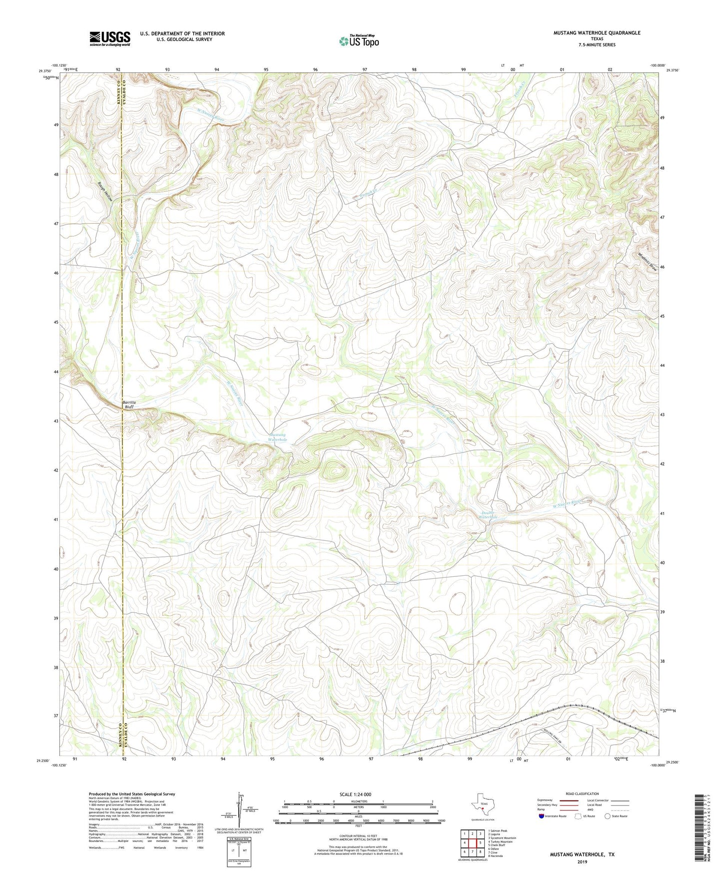
2019 topographic map quadrangle Mustang Waterhole in the state of Texas. Scale: 1:24000. Based on the newly updated USGS 7.5' US Topo map series, this map is in the following counties: Uvalde, Kinney. The map contains contour data, water features, and other items you are used to seeing on USGS maps, but also has updated roads and other features. This is the next generation of topographic maps. Printed on high-quality waterproof paper with UV fade-resistant inks.
Quads adjacent to this one:
West: Turkey Mountain
Northwest: Salmon Peak
North: Laguna
Northeast: Sycamore Mountain
East: Chalk Bluff
Southeast: Hacienda
South: Cline
Southwest: Odlaw
Contains the following named places: Barrilla Bluff, Double Waterhole, Mustang Waterhole, Rough Hollow, Yellow Waterhole