MyTopo
Odlaw Texas US Topo Map
Couldn't load pickup availability
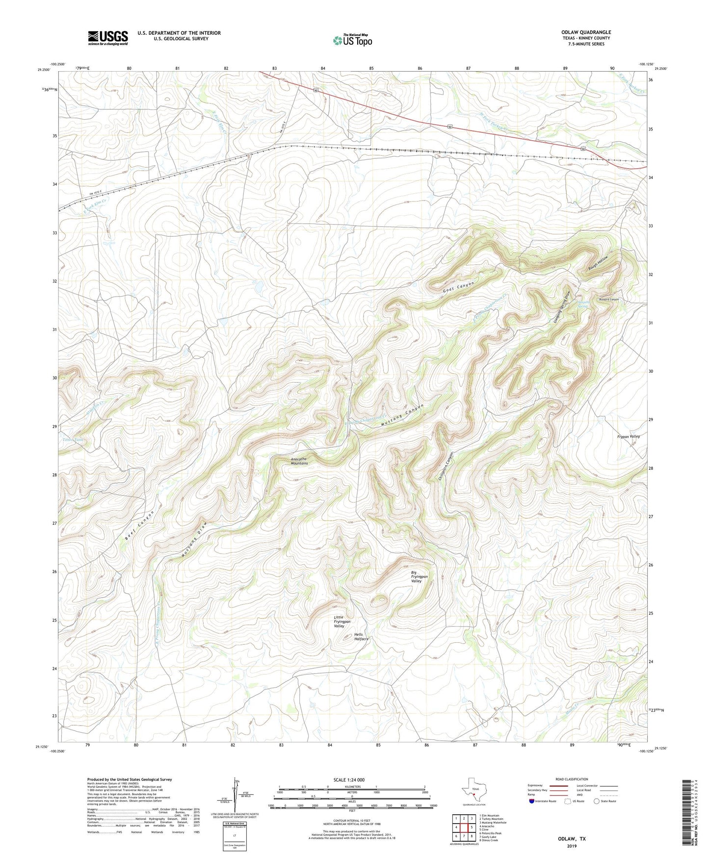
2022 topographic map quadrangle Odlaw in the state of Texas. Scale: 1:24000. Based on the newly updated USGS 7.5' US Topo map series, this map is in the following counties: Kinney. The map contains contour data, water features, and other items you are used to seeing on USGS maps, but also has updated roads and other features. This is the next generation of topographic maps. Printed on high-quality waterproof paper with UV fade-resistant inks.
Quads adjacent to this one:
West: Anacacho
Northwest: Elm Mountain
North: Turkey Mountain
Northeast: Mustang Waterhole
East: Cline
Southeast: Olmos Creek
South: Goofy Lake
Southwest: Peloncillo Peak
This map covers the same area as the classic USGS quad with code o29100b2.
Contains the following named places: Anacacho Mountains, Big Fryingpan Valley, Buzzard Canyon, Chilipitin Canyon, Fryingpan Well, Goat Canyon, Hells Halfacre, Little Fryingpan Valley, Mustang Canyon, Mustang Draw, Odlaw, Old Altizer Ranch, Pavo Tank, Rough Hollow, Sleeping Spring, Sleeping Spring Draw, Tonto Tank, Willow Tank