MyTopo
Chalk Bluff Texas US Topo Map
Couldn't load pickup availability
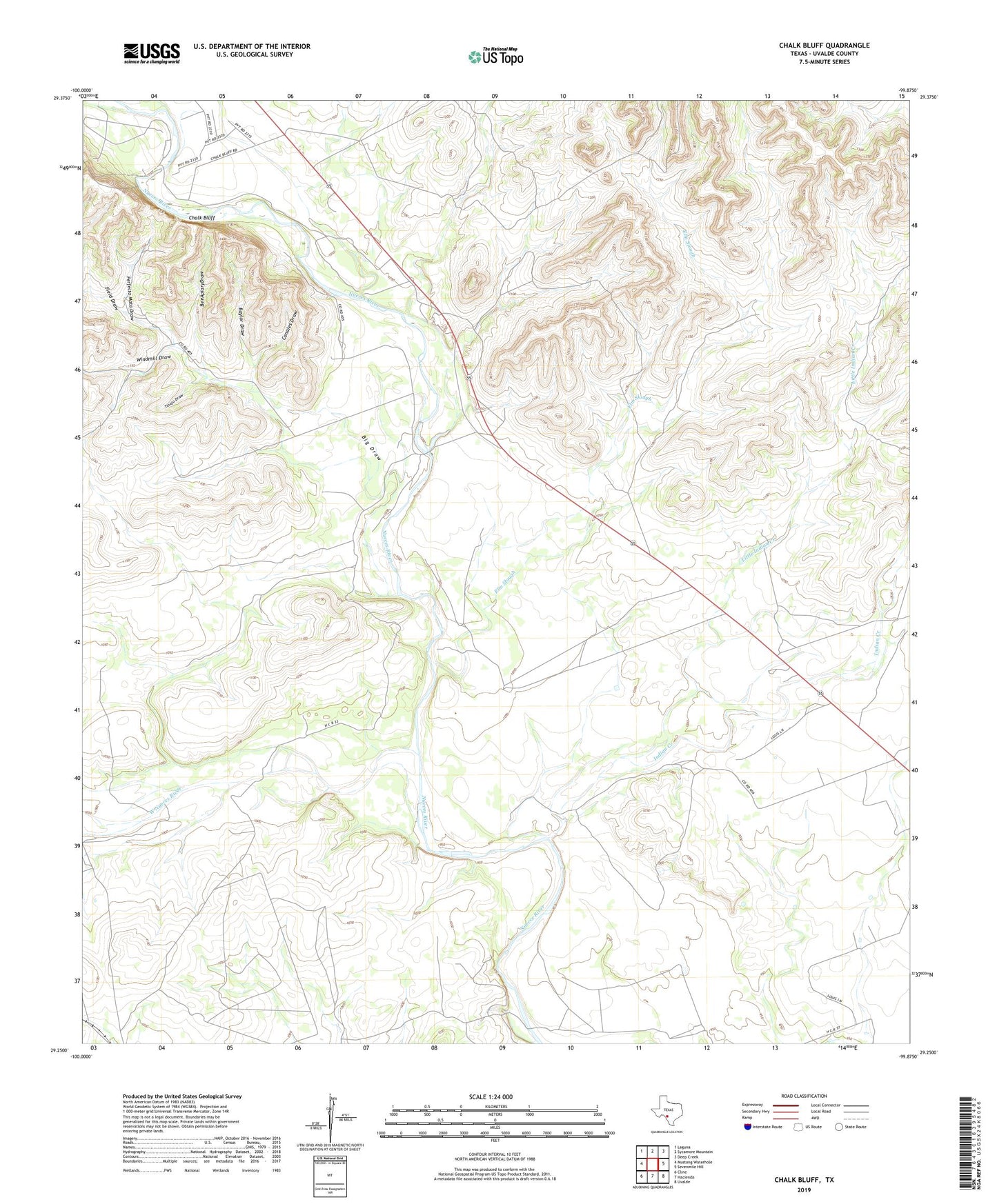
2022 topographic map quadrangle Chalk Bluff in the state of Texas. Scale: 1:24000. Based on the newly updated USGS 7.5' US Topo map series, this map is in the following counties: Uvalde. The map contains contour data, water features, and other items you are used to seeing on USGS maps, but also has updated roads and other features. This is the next generation of topographic maps. Printed on high-quality waterproof paper with UV fade-resistant inks.
Quads adjacent to this one:
West: Mustang Waterhole
Northwest: Laguna
North: Sycamore Mountain
Northeast: Deep Creek
East: Sevenmile Hill
Southeast: Uvalde
South: Hacienda
Southwest: Cline
This map covers the same area as the classic USGS quad with code o29099c8.
Contains the following named places: Anthony C Ranch, Bankier Ranch, Baylor Draw, Bee Apiary Draw, Big Draw, Bird Springs Ranch, Bunting Ranch, Camp Chalk Bluff, Canales Draw, Chalk Bluff, Clayton Ranch, Crump Ranch, Diamond P Ranch, Elm Slough, Field Draw, Gray Ranch, Haby Crossing, Haby Ranch, Indian Creek, L and W Ranch, Lewis Ranch, Little Indian Creek, Martin Ranch, Perfecto Mata Draw, Shaw Ranch, Spring Branch Springs, Tinajo Draw, West Nueces River, Windmill Draw, Winn Ranch, ZIP Code: 78801