MyTopo
Norwood Texas US Topo Map
Couldn't load pickup availability
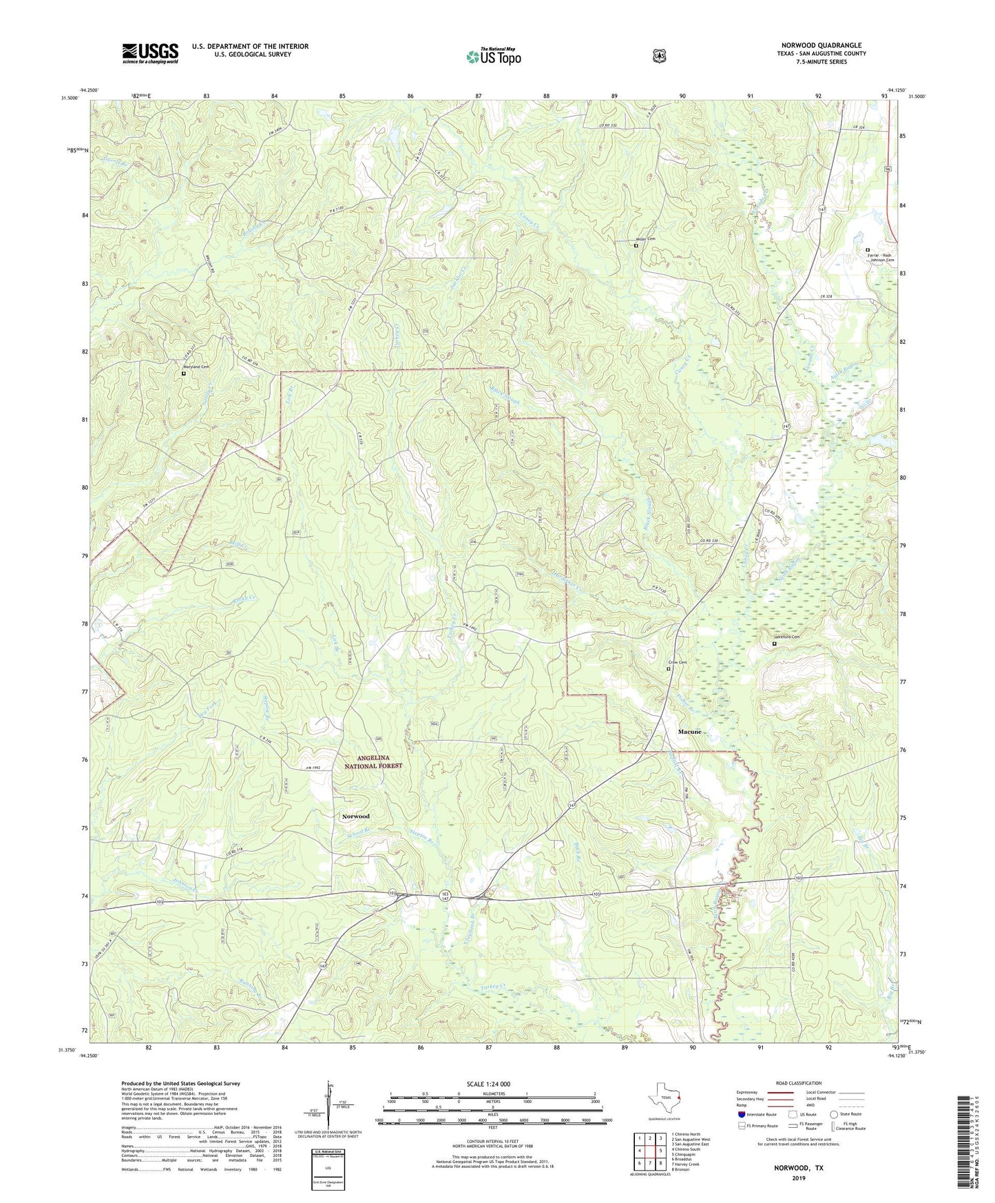
2019 topographic map quadrangle Norwood in the state of Texas. Scale: 1:24000. Based on the newly updated USGS 7.5' US Topo map series, this map is in the following counties: San Augustine. The map contains contour data, water features, and other items you are used to seeing on USGS maps, but also has updated roads and other features. This is the next generation of topographic maps. Printed on high-quality waterproof paper with UV fade-resistant inks.
Quads adjacent to this one:
West: Chireno South
Northwest: Chireno North
North: San Augustine West
Northeast: San Augustine East
East: Chinquapin
Southeast: Bronson
South: Harvey Creek
Southwest: Broaddus
Contains the following named places: Baptist Branch, Black Slough, Buck Branch, Caney Creek, Claybank Branch, Crow Cemetery, Farrar Cemetery, Fisher Branch, Garret Branch, Hardikner Creek, Hereford Cemetery, Jacklot Creek, Lick Branch, Macune, Maryland Cemetery, Mylan Church, Norwood, Perkins Creek, Pole Branch, San Augustine County, School Branch, Solomon Miller Cemetery, Steptoe Branch, Union Grave, Venado Creek, ZIP Code: 75972