MyTopo
Oakville Texas US Topo Map
Couldn't load pickup availability
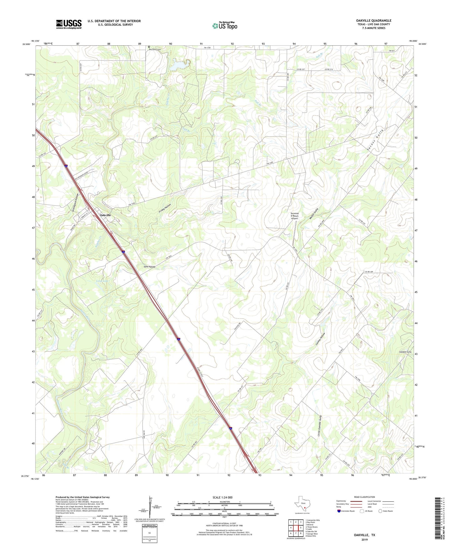
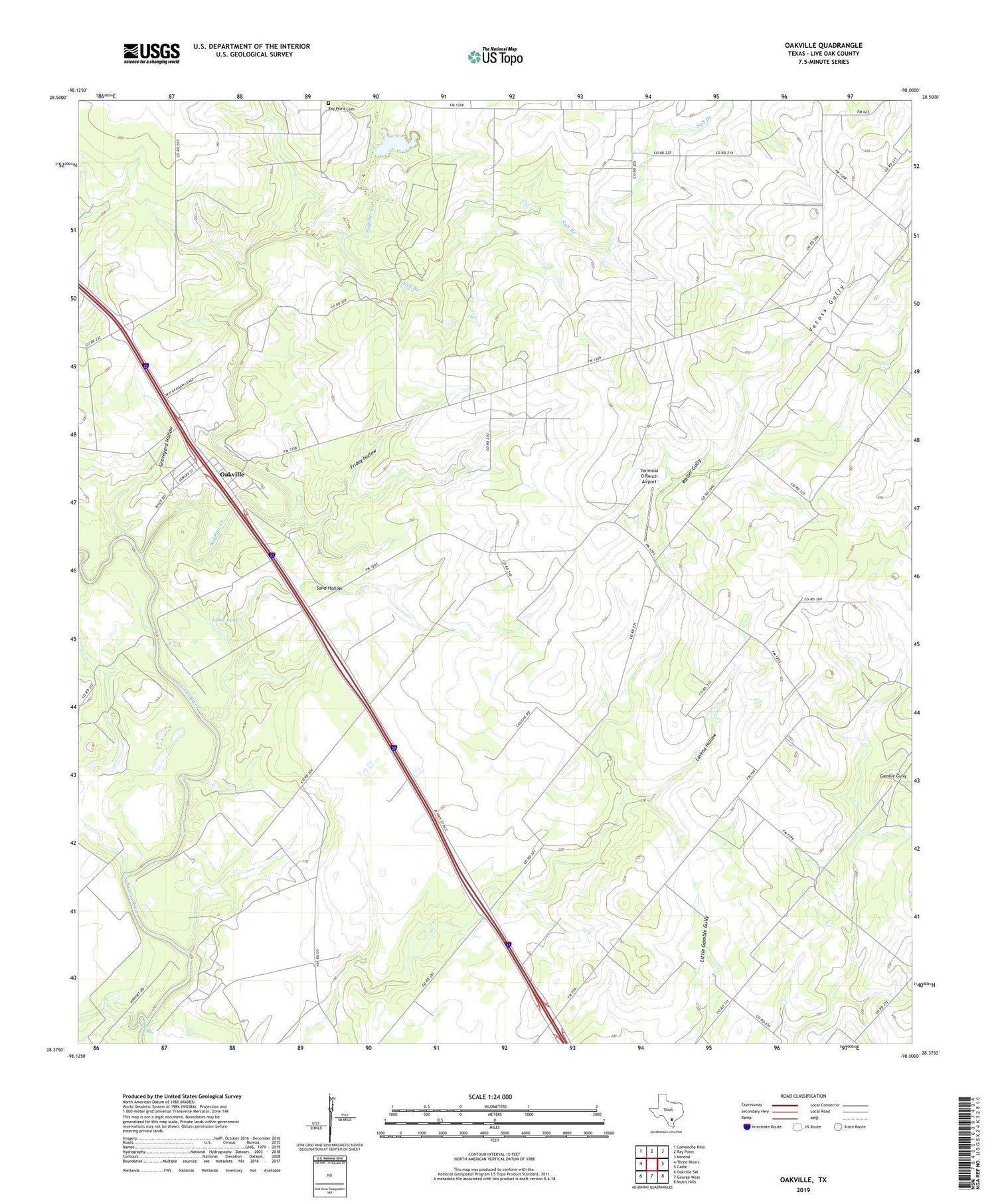
2019 topographic map quadrangle Oakville in the state of Texas. Scale: 1:24000. Based on the newly updated USGS 7.5' US Topo map series, this map is in the following counties: Live Oak. The map contains contour data, water features, and other items you are used to seeing on USGS maps, but also has updated roads and other features. This is the next generation of topographic maps. Printed on high-quality waterproof paper with UV fade-resistant inks.
Quads adjacent to this one:
West: Three Rivers
Northwest: Comanche Hills
North: Ray Point
Northeast: Mineral
East: Cadiz
Southeast: Mulos Hills
South: George West
Southwest: Oakville SW
Contains the following named places: Coquat Gas Field, Friday Hollow, Graveyard Hollow, Harris Oil Field, Karon, Karon Gas Field, Lavena Hollow, Long Lake, Oakville, Oakville Gas Field, Ray Point Cemetery, Salt Branch, Sand Hollow, Sulphur Creek, Terminal D Ranch Airport, Vatoss Gully, ZIP Code: 78060