
MyTopo
Odessa NW Texas US Topo Map
Couldn't load pickup availability
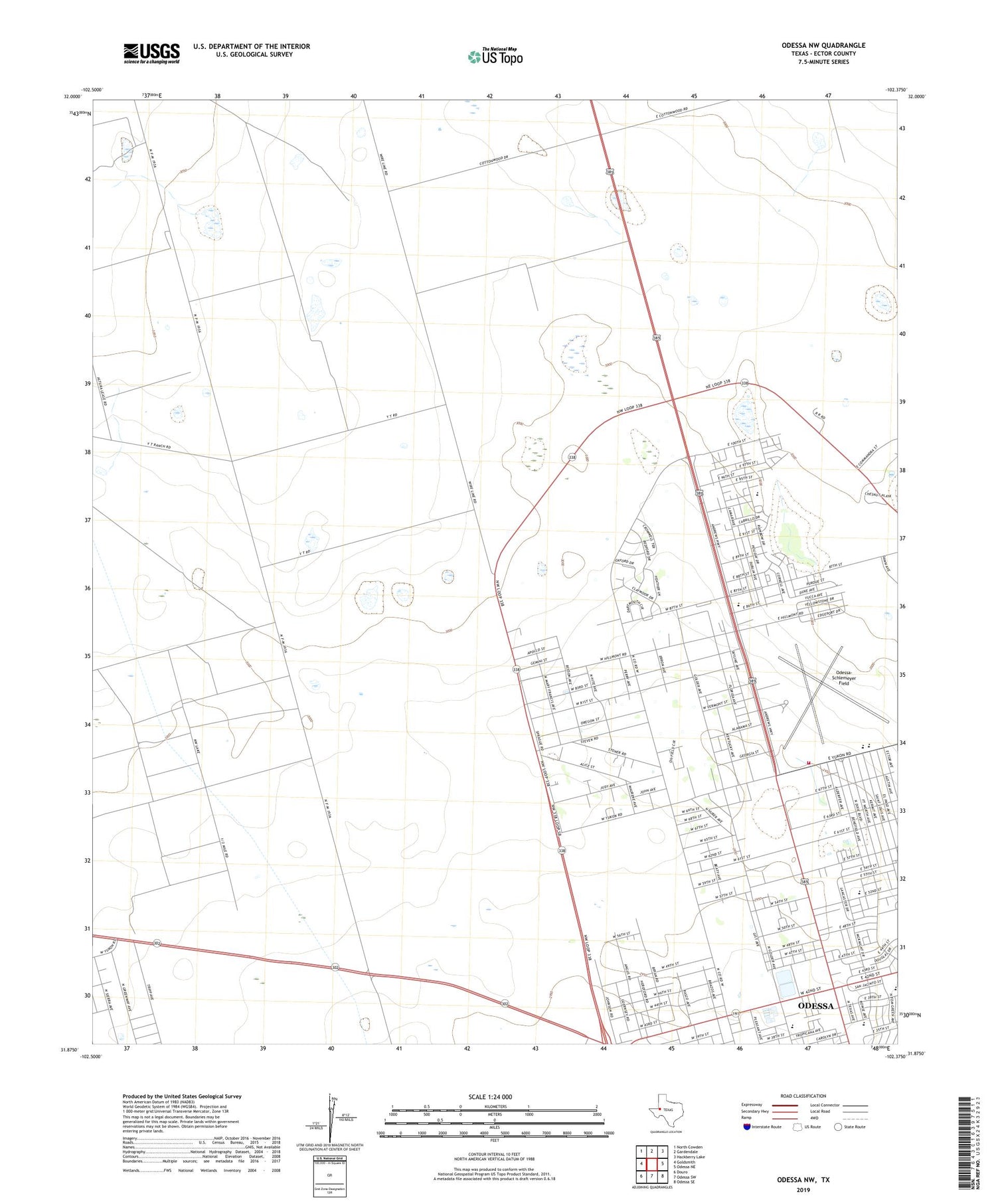
2019 topographic map quadrangle Odessa NW in the state of Texas. Scale: 1:24000. Based on the newly updated USGS 7.5' US Topo map series, this map is in the following counties: Ector. The map contains contour data, water features, and other items you are used to seeing on USGS maps, but also has updated roads and other features. This is the next generation of topographic maps. Printed on high-quality waterproof paper with UV fade-resistant inks.
Quads adjacent to this one:
West: Goldsmith
Northwest: North Cowden
North: Gardendale
Northeast: Hackberry Lake
East: Odessa NE
Southeast: Odessa SE
South: Odessa SW
Southwest: Douro
Contains the following named places: Alternative Education Center, Barbara Jordan Elementary School, Bethel Assembly of God Church, Bible Free Will Baptist Church, Broughton Park, Bull Well, Burleson Elementary School, Burleson School, Dipping Vat Well, Ector County Coliseum, Ector County Youth Center, Goliad Elementary School, Goliad School, Greenfield Acres Baptist Church, Greenfield Acres Church, Hood Junior High School, Kingston Auenue Baptist Church, KOYL-AM (Odessa), Mexican Well, New Well, North Johnson Well, Northside Church, Odessa Fire Department Station 8, Odessa Primitive Baptist Church, Odessa-Schlemeyer Field, Sam Houston Elementary School, San Houston School, Seventh Day Adventist Church, South Windmill, The Church of Jesus Christ of Latter Day Saints, University Park Baptist Church, Wesley Evangelical Methodist Church, West Windmill, Willow Well, Wolford Well


