MyTopo
Gardendale Texas US Topo Map
Couldn't load pickup availability
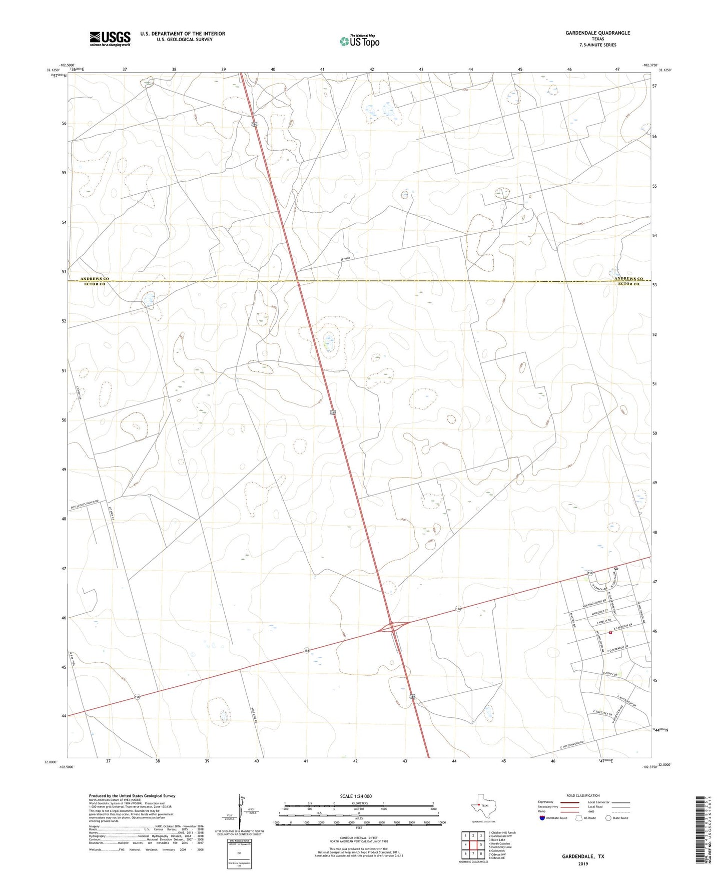
2022 topographic map quadrangle Gardendale in the state of Texas. Scale: 1:24000. Based on the newly updated USGS 7.5' US Topo map series, this map is in the following counties: Ector, Andrews. The map contains contour data, water features, and other items you are used to seeing on USGS maps, but also has updated roads and other features. This is the next generation of topographic maps. Printed on high-quality waterproof paper with UV fade-resistant inks.
Quads adjacent to this one:
West: North Cowden
Northwest: Clabber Hill Ranch
North: Gardendale NW
Northeast: Baird Lake
East: Hackberry Lake
Southeast: Odessa NE
South: Odessa NW
Southwest: Goldsmith
This map covers the same area as the classic USGS quad with code o32102a4.
Contains the following named places: Caliche Windmill, Circle Bar Ranch, Draw Windmill, Gardendale, Gardendale Post Office, Gardendale Volunteer Fire Department, Mutt Windmill, New Well Windmill, Scharbauer City, Steel Tower Windmill, Ward Windmill, Windmill Number Nine, Windmill Number Ten, Windmill Number Thirteen, Windmill Number Thirty, Windmill Number Twelve, Windmill Number Twentythree