
MyTopo
Olivia Texas US Topo Map
Couldn't load pickup availability
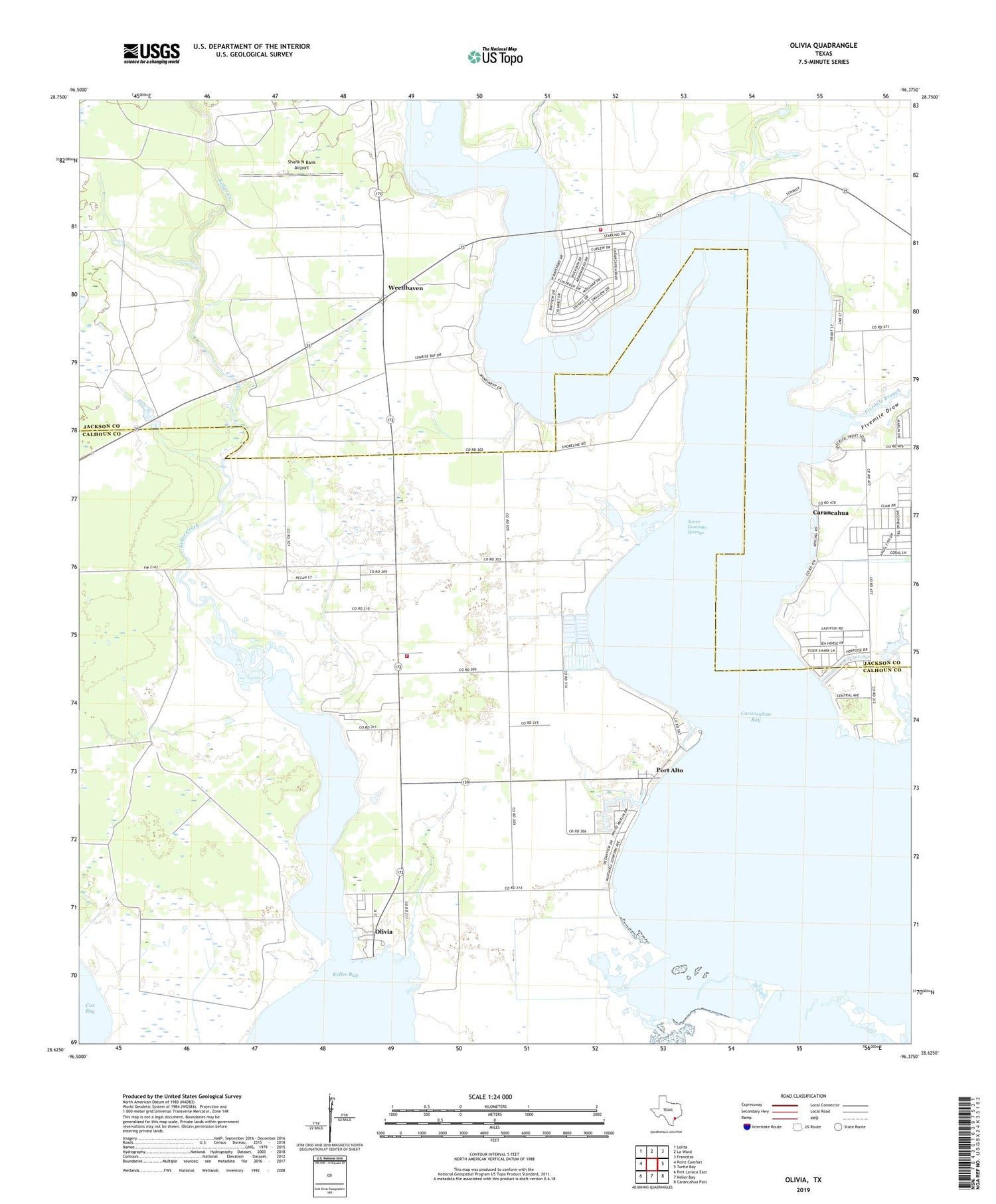
2019 topographic map quadrangle Olivia in the state of Texas. Scale: 1:24000. Based on the newly updated USGS 7.5' US Topo map series, this map is in the following counties: Calhoun, Jackson. The map contains contour data, water features, and other items you are used to seeing on USGS maps, but also has updated roads and other features. This is the next generation of topographic maps. Printed on high-quality waterproof paper with UV fade-resistant inks.
Quads adjacent to this one:
West: Point Comfort
Northwest: Lolita
North: La Ward
Northeast: Francitas
East: Turtle Bay
Southeast: Carancahua Pass
South: Keller Bay
Southwest: Port Lavaca East
Contains the following named places: Carancahua, Carancahua Bay, Carancahua Community Volunteer Fire Department, Fivemile Branch, Fivemile Draw, Keller Creek, Olivia, Olivia - Port Alto Volunteer Fire Department, Olivia Eden Church, Olivia School, Port Alto, Port Alto Boat Shed Marina, Salt Lake, Santo Domingo Springs, Shank N Bank Airport, Weedhaven


