MyTopo
Pearsall South Texas US Topo Map
Couldn't load pickup availability
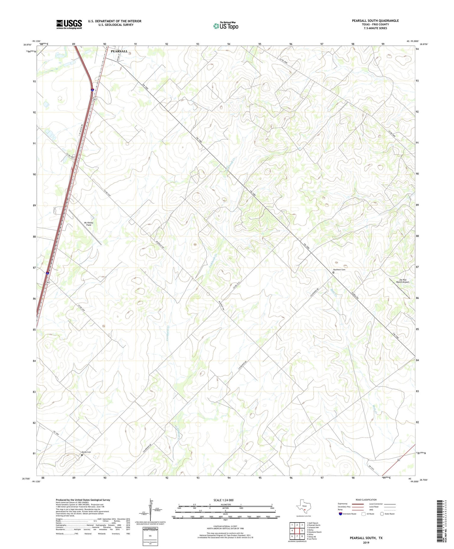
2019 topographic map quadrangle Pearsall South in the state of Texas. Scale: 1:24000. Based on the newly updated USGS 7.5' US Topo map series, this map is in the following counties: Frio. The map contains contour data, water features, and other items you are used to seeing on USGS maps, but also has updated roads and other features. This is the next generation of topographic maps. Printed on high-quality waterproof paper with UV fade-resistant inks.
Quads adjacent to this one:
West: Derby
Northwest: Halff Ranch
North: Pearsall North
Northeast: Schattel NW
East: Keystone Ranch
Southeast: Las Flores
South: Dilley NE
Southwest: Dilley
Contains the following named places: Buckhorn Cemetery, Derby Cemetery, Frio County, Frio Pioneer Jail Museum, Jay Kay Ranch Airport, Jim and Roy Windmill, McKinley Field, Melon, Pearsall Division, Prairie Windmill, Shiner Ranch, Shiner Windmill, Shipping Trap Windmill