MyTopo
Pecos West Texas US Topo Map
Couldn't load pickup availability
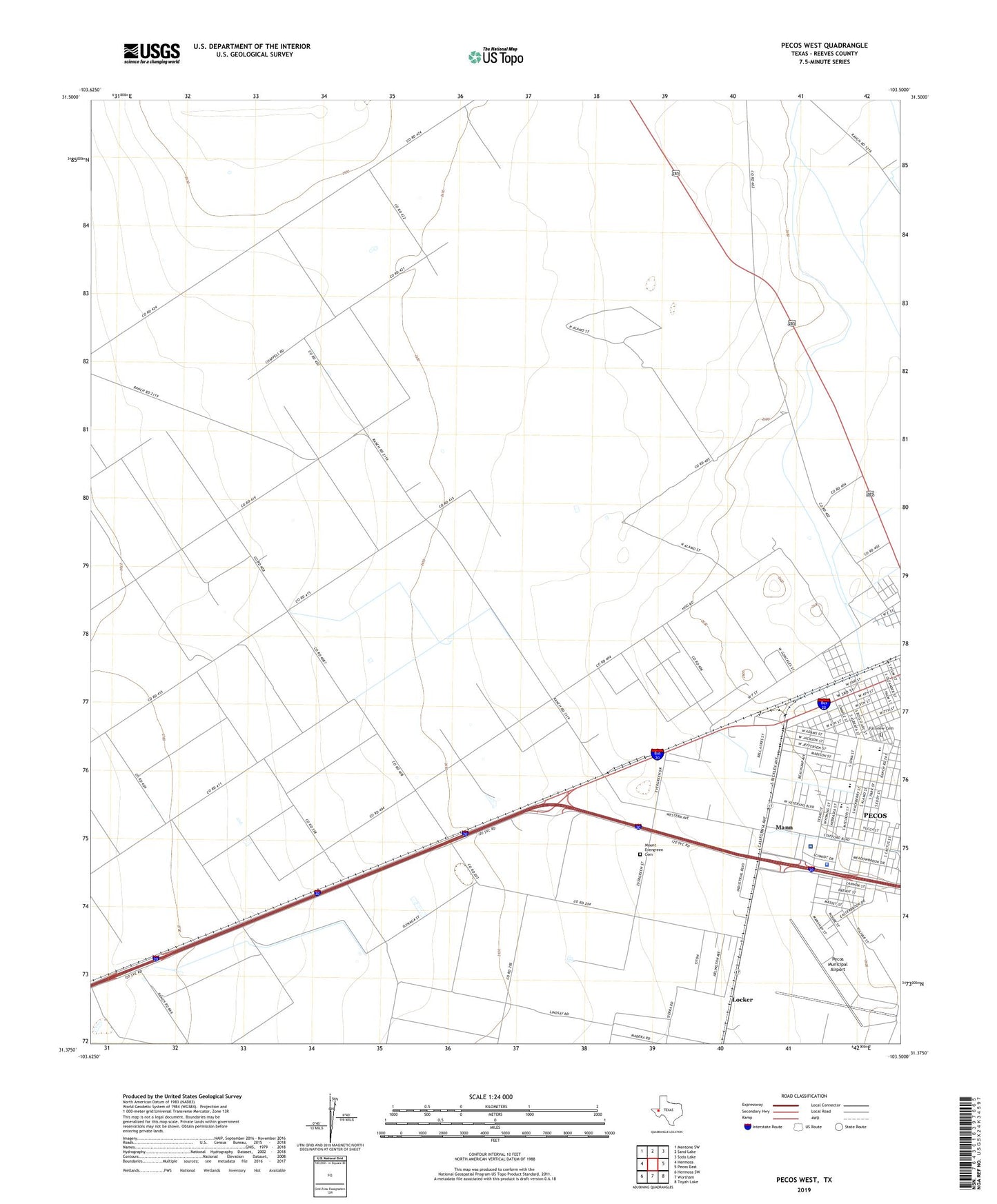
2019 topographic map quadrangle Pecos West in the state of Texas. Scale: 1:24000. Based on the newly updated USGS 7.5' US Topo map series, this map is in the following counties: Reeves. The map contains contour data, water features, and other items you are used to seeing on USGS maps, but also has updated roads and other features. This is the next generation of topographic maps. Printed on high-quality waterproof paper with UV fade-resistant inks.
Quads adjacent to this one:
West: Hermosa
Northwest: Mentone SW
North: Sand Lake
Northeast: Soda Lake
East: Pecos East
Southeast: Toyah Lake
South: Worsham
Southwest: Hermosa SW
Contains the following named places: Austin Elementary School, Carver Alternative Education Center, Correctional Institution Reeves I - II and III, Crockett Middle School, Fairview Cemetery, First Presbyterian Church, Greenwood Cemetery, KIUN-AM (Pecos), KPTX-FM (Pecos), Locker, Lutheran Church Missouri, Mann, Mount Evergreen Cemetery, Old Settlers Cemetery, Pecos Army Air Field, Pecos High School, Pecos Municipal Airport, Pecos Police Department, Reeves County Hospital, Saint Marks Episcopal Church, Saint Marles Church, Seventh Day Adventist Church, South Pecos School, Town of Pecos City, West Pecos School