MyTopo
Toyah Lake Texas US Topo Map
Couldn't load pickup availability
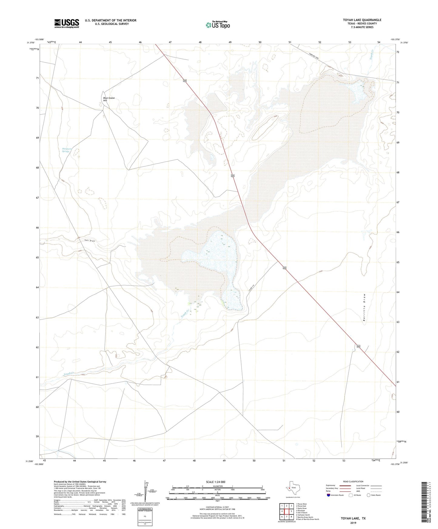
2022 topographic map quadrangle Toyah Lake in the state of Texas. Scale: 1:24000. Based on the newly updated USGS 7.5' US Topo map series, this map is in the following counties: Reeves. The map contains contour data, water features, and other items you are used to seeing on USGS maps, but also has updated roads and other features. This is the next generation of topographic maps. Printed on high-quality waterproof paper with UV fade-resistant inks.
Quads adjacent to this one:
West: Worsham
Northwest: Pecos West
North: Pecos East
Northeast: Quito Draw
East: Old X Ranch
Southeast: East of Barrilla Draw North
South: Barrilla Draw North
Southwest: Verhalen North
This map covers the same area as the classic USGS quad with code o31103c4.
Contains the following named places: Barrilla Draw, Blue Goose Hill, Hackberry Springs, Jinx Well, Lake Ranch, Salt Draw, Toyah Lake