MyTopo
Pleasant Grove Texas US Topo Map
Couldn't load pickup availability
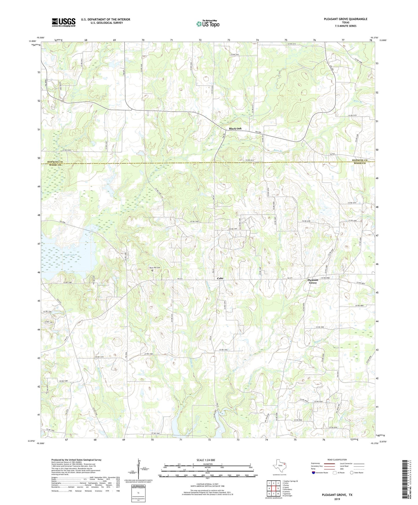
2019 topographic map quadrangle Pleasant Grove in the state of Texas. Scale: 1:24000. Based on the newly updated USGS 7.5' US Topo map series, this map is in the following counties: Wood, Hopkins. The map contains contour data, water features, and other items you are used to seeing on USGS maps, but also has updated roads and other features. This is the next generation of topographic maps. Printed on high-quality waterproof paper with UV fade-resistant inks.
Quads adjacent to this one:
West: Yantis
Northwest: Sulphur Springs SE
North: Como
Northeast: Purley
East: Winnsboro
Southeast: Cartwright
South: Quitman
Southwest: Calvary
Contains the following named places: Black Oak, Brier Branch, Caney Church, Coke, Coke Oil Field, Como Oil Field, Crane Lake, Honey Creek, Manziel Oil Field, Pleasant Grove, Rock Hill Cemetery, Rock Hill Church, Stormville Church