MyTopo
Sulphur Springs SE Texas US Topo Map
Couldn't load pickup availability
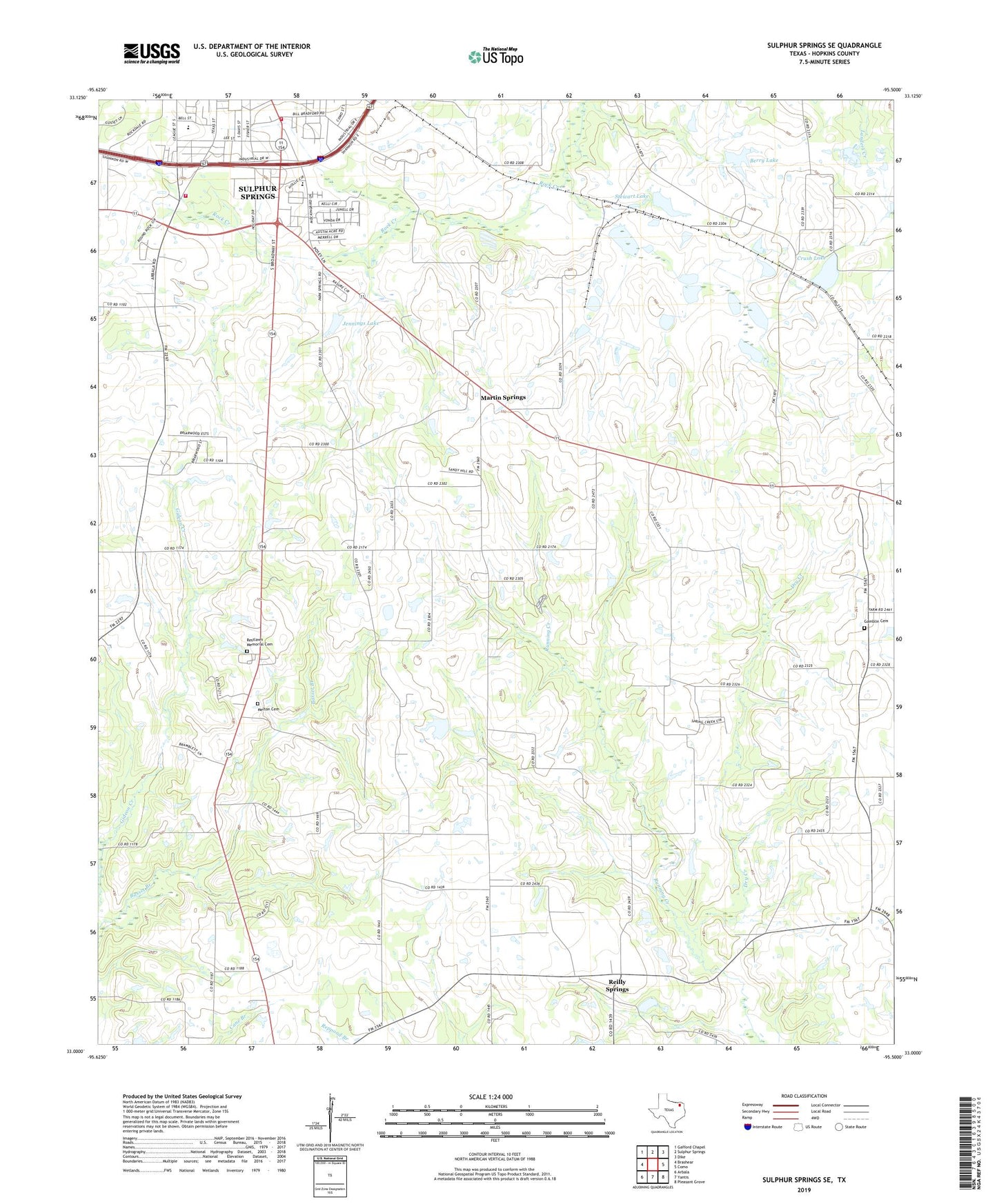
2022 topographic map quadrangle Sulphur Springs SE in the state of Texas. Scale: 1:24000. Based on the newly updated USGS 7.5' US Topo map series, this map is in the following counties: Hopkins. The map contains contour data, water features, and other items you are used to seeing on USGS maps, but also has updated roads and other features. This is the next generation of topographic maps. Printed on high-quality waterproof paper with UV fade-resistant inks.
Quads adjacent to this one:
West: Brashear
Northwest: Gafford Chapel
North: Sulphur Springs
Northeast: Dike
East: Como
Southeast: Pleasant Grove
South: Yantis
Southwest: Arbala
This map covers the same area as the classic USGS quad with code o33095a5.
Contains the following named places: Alberta Lake, Berry Lake, Berry Lake Dam, Bowie Elementary School, Church of Christ, Crush Lake, Crush Lake Dam, Dry Creek, Elberta Lake Dam, Gamblin Cemetery, Greenpond, Greenpond Church, Hopkins County Fire Deparment Central Station, Jennings Lake, Jennings Lake Dam, KSST-AM (Sulphur Springs), Martin Springs, Melton Cemetery, Olive Branch Baptist Church, Our Savior Lutheran Church, Reilly Springs, Restlawn Memorial Cemetery, Seymore Division, Shady Grove Church, Shooks Chapel, Steward Lake Dam, Stewart Lake, Sulphur Springs Fire Department Station 2, Sulphur Springs Middle School, Tazewell, Thermo, Union, Union Church