MyTopo
Port Bolivar Texas US Topo Map
Couldn't load pickup availability
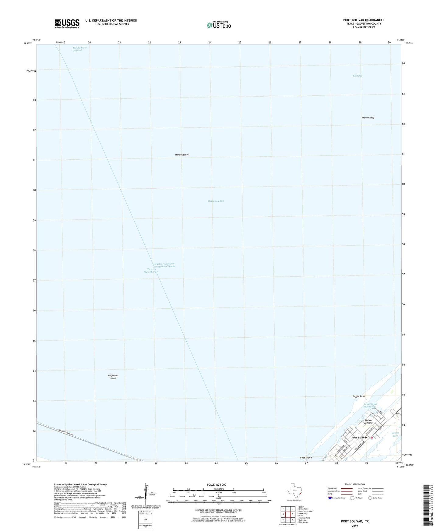
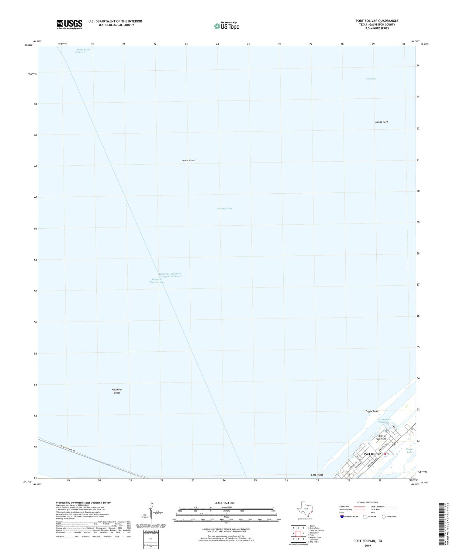
2019 topographic map quadrangle Port Bolivar in the state of Texas. Scale: 1:24000. Based on the newly updated USGS 7.5' US Topo map series, this map is in the following counties: Galveston. The map contains contour data, water features, and other items you are used to seeing on USGS maps, but also has updated roads and other features. This is the next generation of topographic maps. Printed on high-quality waterproof paper with UV fade-resistant inks.
Quads adjacent to this one:
West: Texas City
Northwest: Bacliff
North: Smith Point
Northeast: Lake Stephenson
East: Flake
Southeast: The Jetties
South: Galveston
Southwest: Virginia Point
Contains the following named places: Baffle Point, Galveston County, Halfmoon Shoal, Hanna Island, Hanna Reef, Houston Oil and Minerals Port Bolivar Heliport, Houston Oil and Minerals Port Bolivar Number 2 Heliport, Port Bolivar, Port Bolivar Post Office, Port Bolivar Volunteer Fire Department, Texas City Dike