MyTopo
Pritchett Texas US Topo Map
Couldn't load pickup availability
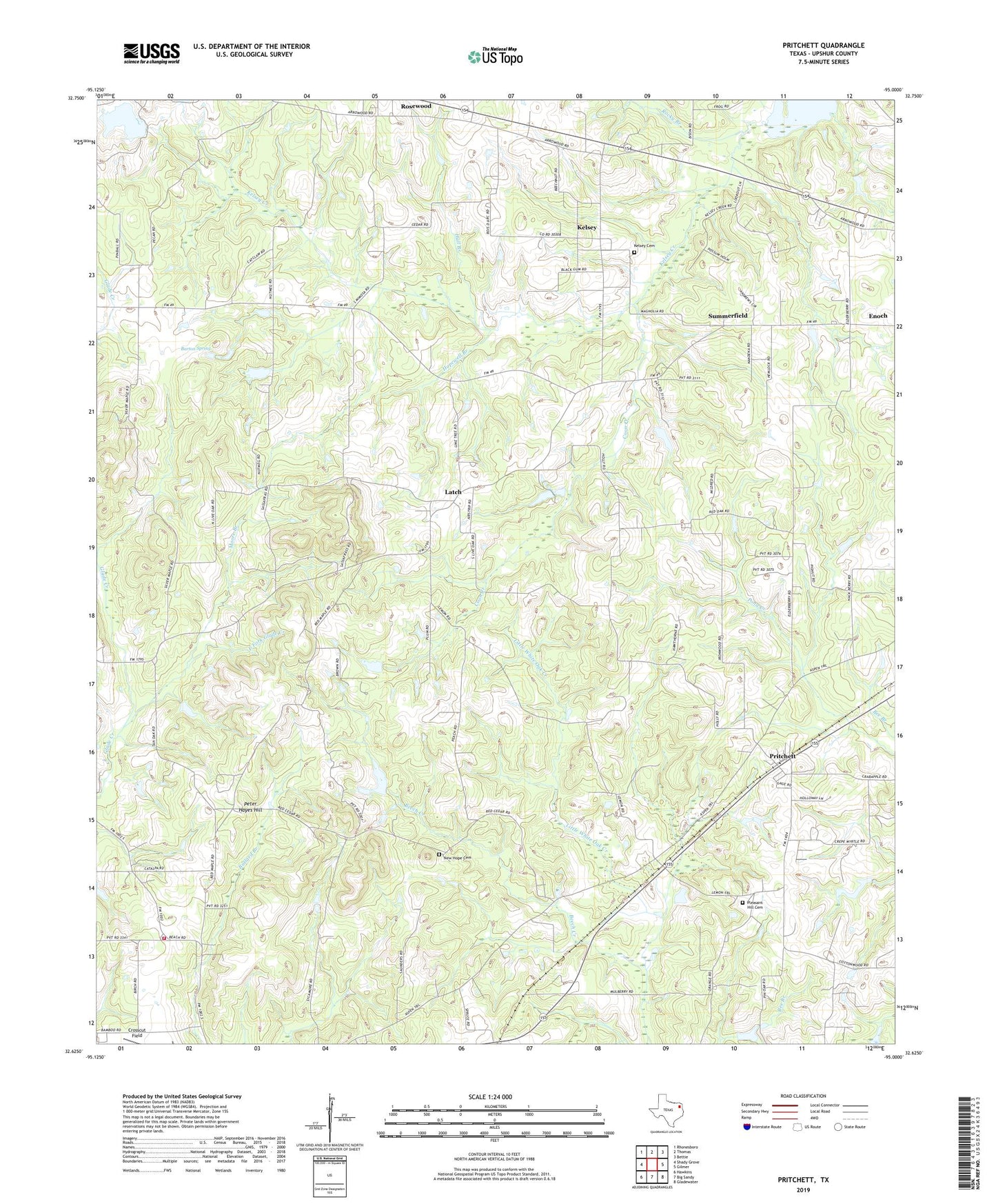
2019 topographic map quadrangle Pritchett in the state of Texas. Scale: 1:24000. Based on the newly updated USGS 7.5' US Topo map series, this map is in the following counties: Upshur. The map contains contour data, water features, and other items you are used to seeing on USGS maps, but also has updated roads and other features. This is the next generation of topographic maps. Printed on high-quality waterproof paper with UV fade-resistant inks.
Quads adjacent to this one:
West: Shady Grove
Northwest: Rhonesboro
North: Thomas
Northeast: Bettie
East: Gilmer
Southeast: Gladewater
South: Big Sandy
Southwest: Hawkins
Contains the following named places: Bane Lake, Bane Lake Dam, Barton Spring, Beech Creek, Browns Chapel, Coon Creek, Crosscut Field, East Fork Glade Creek, Freeman Memorial Branch Library, Hall Branch, Hopewell Branch, Hopewell Church, Johnson Chapel, Kelsey, Kelsey Cemetery, KHYM-AM (Gilmer), La Porte Branch Library, Latch, Lone Pine Church, Medley Lake, Medley Lake Dam, Moore Branch, New Hope Cemetery, New Hope Church, Oak Grove Church, Peter Hayes Hill, Pleasant Grove Church, Pleasant Grove Volunteer Fire Department, Pleasant Hill Cemetery, Pritchett, Rocky Branch, Summerfield, Turkey Pond, ZIP Code: 75755