MyTopo
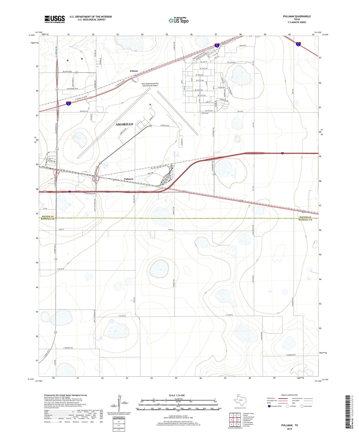
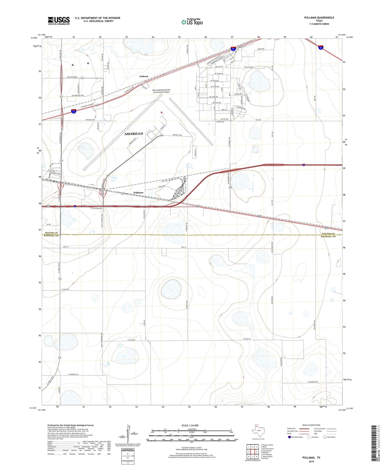
Pullman Texas US Topo Map
Couldn't load pickup availability
2019 topographic map quadrangle Pullman in the state of Texas. Scale: 1:24000. Based on the newly updated USGS 7.5' US Topo map series, this map is in the following counties: Potter, Randall. The map contains contour data, water features, and other items you are used to seeing on USGS maps, but also has updated roads and other features. This is the next generation of topographic maps. Printed on high-quality waterproof paper with UV fade-resistant inks.
Quads adjacent to this one:
West: Amarillo East
Northwest: Pleasant Valley
North: Mayer
Northeast: Sevenmile Basin
East: Washburn
Southeast: Fairview
South: Thomas Ranch
Southwest: The Palisades
Contains the following named places: Amarillo Air Force Base, Amarillo Army Air Field, Amarillo Fire Department Station 10, Folsom, KDJW-AM (Amarillo), Potter County Detention Center, Potter County Sheriff's Office, Pullman, Rick Husband Amarillo International Airport, Rico Aviation - Air Ambulance, Texas Department of Criminal Justice Nathaniel J Neal Unit, Texas Department of Criminal Justice William P Clements Unit, United States Border Patrol Substation, ZIP Code: 79111