MyTopo
Mayer Texas US Topo Map
Couldn't load pickup availability
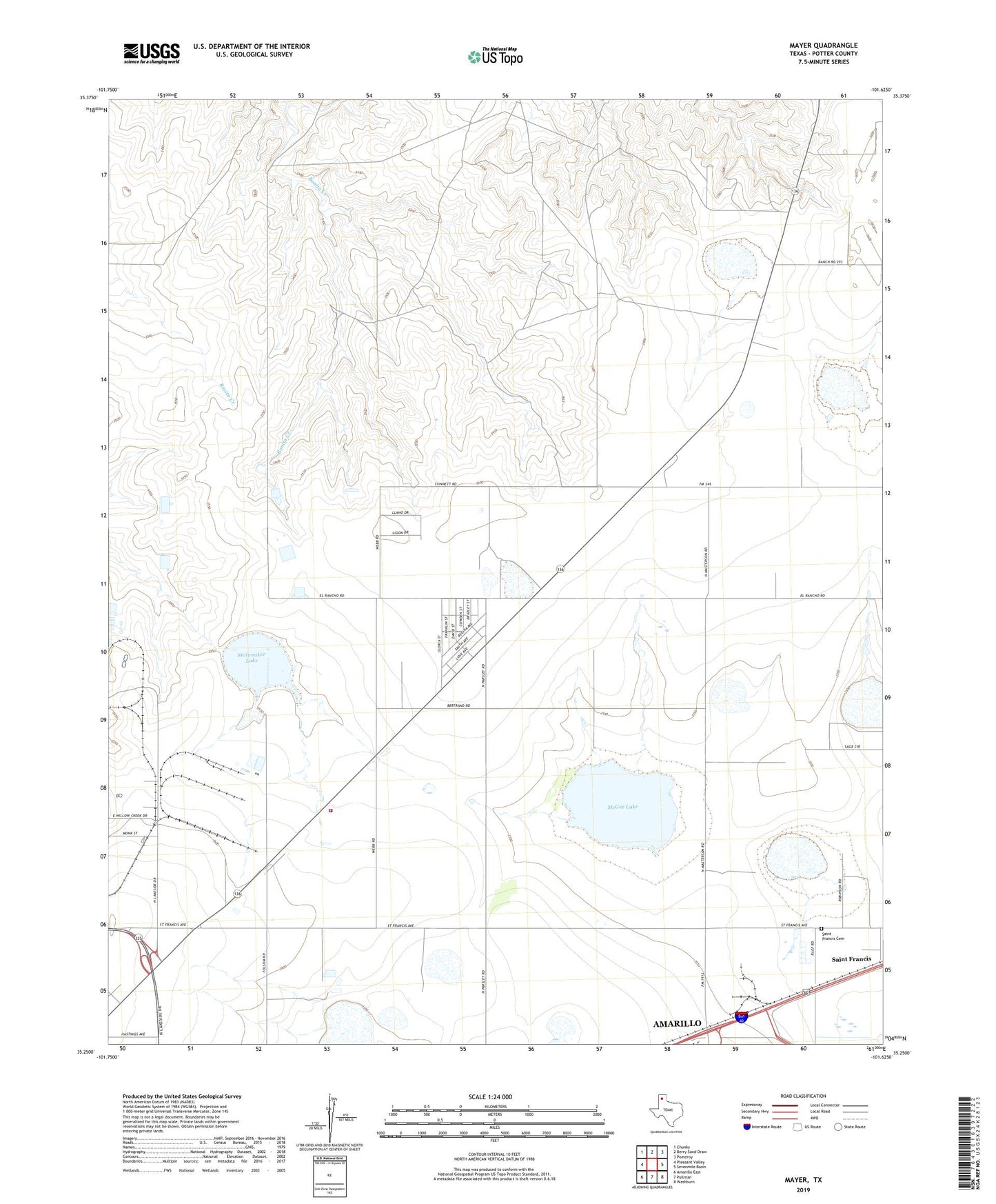
2022 topographic map quadrangle Mayer in the state of Texas. Scale: 1:24000. Based on the newly updated USGS 7.5' US Topo map series, this map is in the following counties: Potter. The map contains contour data, water features, and other items you are used to seeing on USGS maps, but also has updated roads and other features. This is the next generation of topographic maps. Printed on high-quality waterproof paper with UV fade-resistant inks.
Quads adjacent to this one:
West: Pleasant Valley
Northwest: Chunky
North: Berry Sand Draw
Northeast: Pomeroy
East: Sevenmile Basin
Southeast: Washburn
South: Pullman
Southwest: Amarillo East
This map covers the same area as the classic USGS quad with code o35101c6.
Contains the following named places: Highland Park Elementary School, KCLP-AM (Amarillo Township), Mayer, McGee Lake, Potter County Fire Rescue Station 6, Saint Francis Cemetery, Stalanaker Lake, ZIP Code: 79108