MyTopo
Sevenmile Basin Texas US Topo Map
Couldn't load pickup availability
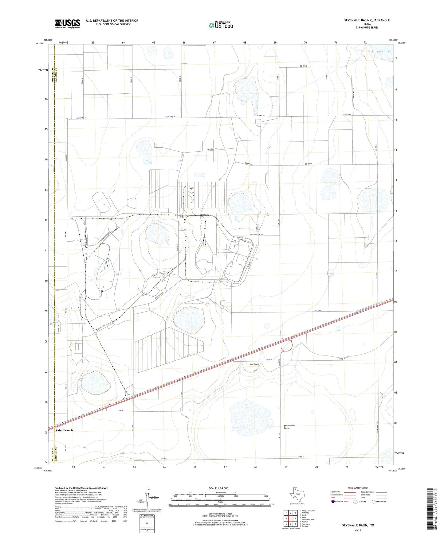
2022 topographic map quadrangle Sevenmile Basin in the state of Texas. Scale: 1:24000. Based on the newly updated USGS 7.5' US Topo map series, this map is in the following counties: Carson, Potter. The map contains contour data, water features, and other items you are used to seeing on USGS maps, but also has updated roads and other features. This is the next generation of topographic maps. Printed on high-quality waterproof paper with UV fade-resistant inks.
Quads adjacent to this one:
West: Mayer
Northwest: Berry Sand Draw
North: Pomeroy
Northeast: Abell
East: Panhandle West
Southeast: Conway
South: Washburn
Southwest: Pullman
This map covers the same area as the classic USGS quad with code o35101c5.
Contains the following named places: Carson County Jail, Liberty Cemetery, Pantex Plant Fire Department, Saint Francis, Sevenmile Basin, Texas Technological College Research Farm, USAEC Pantex Plant