
MyTopo
Raisin Texas US Topo Map
Couldn't load pickup availability
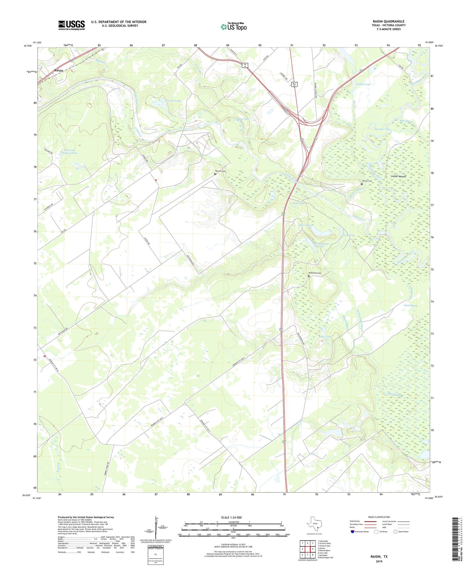
2019 topographic map quadrangle Raisin in the state of Texas. Scale: 1:24000. Based on the newly updated USGS 7.5' US Topo map series, this map is in the following counties: Victoria. The map contains contour data, water features, and other items you are used to seeing on USGS maps, but also has updated roads and other features. This is the next generation of topographic maps. Printed on high-quality waterproof paper with UV fade-resistant inks.
Quads adjacent to this one:
West: Fannin
Northwest: Schroeder
North: Victoria West
Northeast: Victoria East
East: Bloomington
Southeast: Bloomington SW
South: McFaddin
Southwest: Lott Lake
Contains the following named places: Adler Lake, Bass Lake, Boggy Creek, Coleto Creek, Coleto Creek Oil Field, Cologne Oil Field, Court Branch, Dry Creek, Hog Lake, Indian Mound, Joshua Cemetery, Kemper City School, Mary Lake, McDonald Cemetery, McDonough Bayou, McDonough Lake, Mill Lake, New River, Pridham Lake, Primo Stables, Raisin, Raisin Volunteer Fire Department Station 2, Raisin Volunteer Fire Department Station 4, Reeves Cemetery, Samson Bayou, Sand Bayou, Sand Lake, Shell and Trigger Lake, Stubbs Lake, Stubbs School, Terrell Lake, Terrell Ranch, Victoria West Division, Warden Lake, ZIP Code: 77905


