MyTopo
Salt Gap Texas US Topo Map
Couldn't load pickup availability
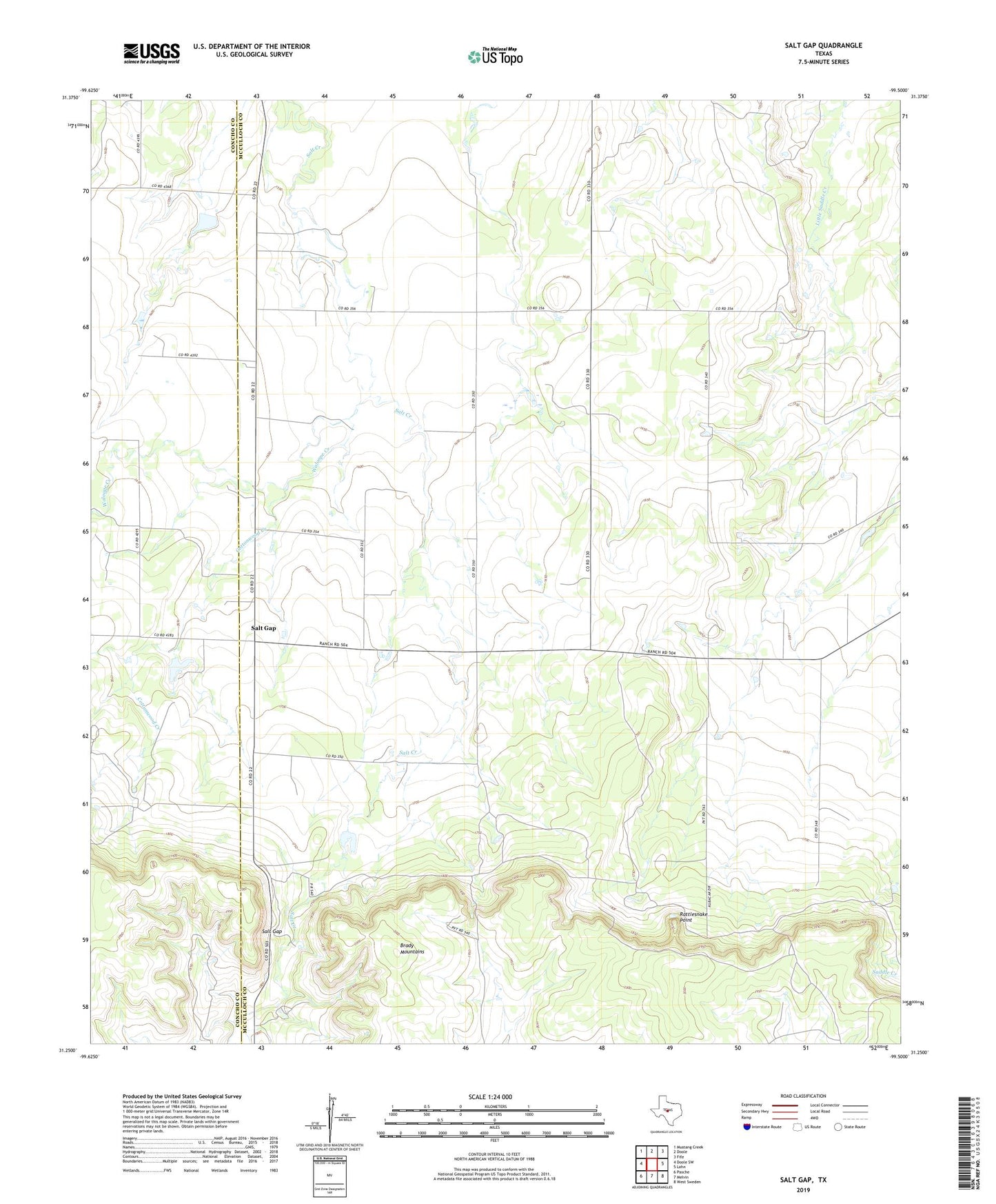
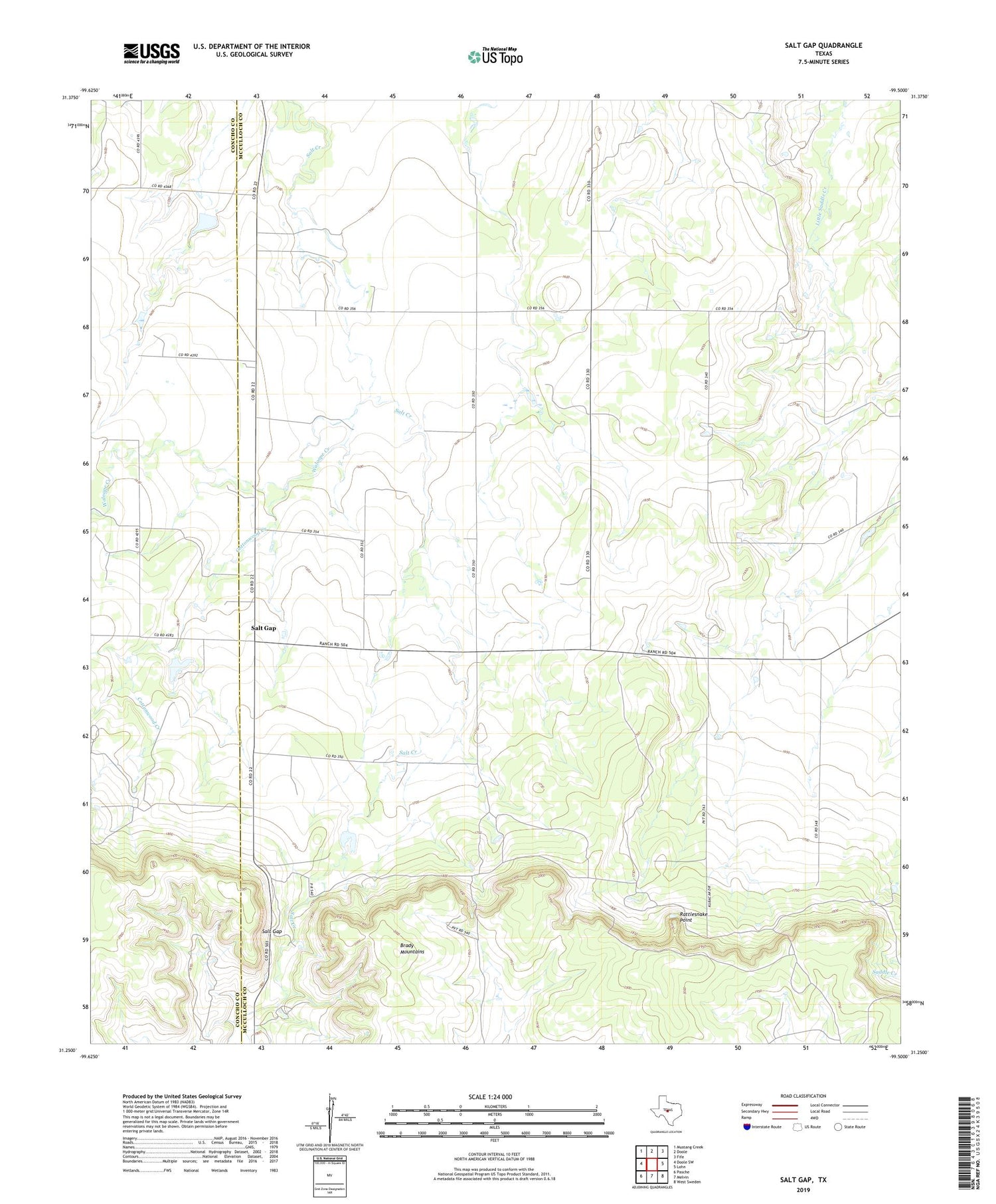
2019 topographic map quadrangle Salt Gap in the state of Texas. Scale: 1:24000. Based on the newly updated USGS 7.5' US Topo map series, this map is in the following counties: McCulloch, Concho. The map contains contour data, water features, and other items you are used to seeing on USGS maps, but also has updated roads and other features. This is the next generation of topographic maps. Printed on high-quality waterproof paper with UV fade-resistant inks.
Quads adjacent to this one:
West: Doole SW
Northwest: Mustang Creek
North: Doole
Northeast: Fife
East: Lohn
Southeast: West Sweden
South: Melvin
Southwest: Pasche
Contains the following named places: Brady Mountains, Cottonwood Creek, Rattlesnake Point, Salt Gap, Waloope Creek