
MyTopo
San Antonio Pass Texas US Topo Map
Couldn't load pickup availability
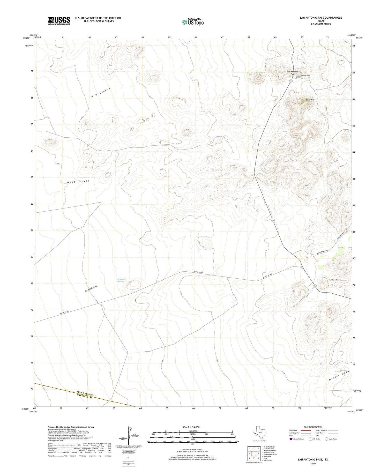
2019 topographic map quadrangle San Antonio Pass in the state of Texas. Scale: 1:24000. Based on the newly updated USGS 7.5' US Topo map series, this map is in the following counties: Jeff Davis, Presidio. The map contains contour data, water features, and other items you are used to seeing on USGS maps, but also has updated roads and other features. This is the next generation of topographic maps. Printed on high-quality waterproof paper with UV fade-resistant inks.
Quads adjacent to this one:
West: Valentine East
Northwest: Horseshoe Butte
North: El Muerto Peak
Northeast: Mount Livermore
East: Paradise Mountain
Southeast: Burro Draw
South: Ryan
Southwest: Deer Peak
Contains the following named places: Bat Cave Canyon, Buck Mountain, Eagle Tank Well, El Muerto Springs, Gearhart Ranch, H O Canyon, Kelly Ranch, San Antonio Pass


