MyTopo
San Antonio Viejo Texas US Topo Map
Couldn't load pickup availability
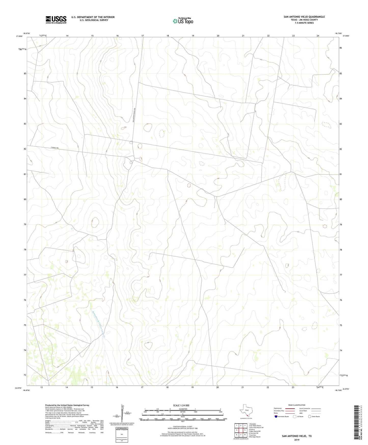
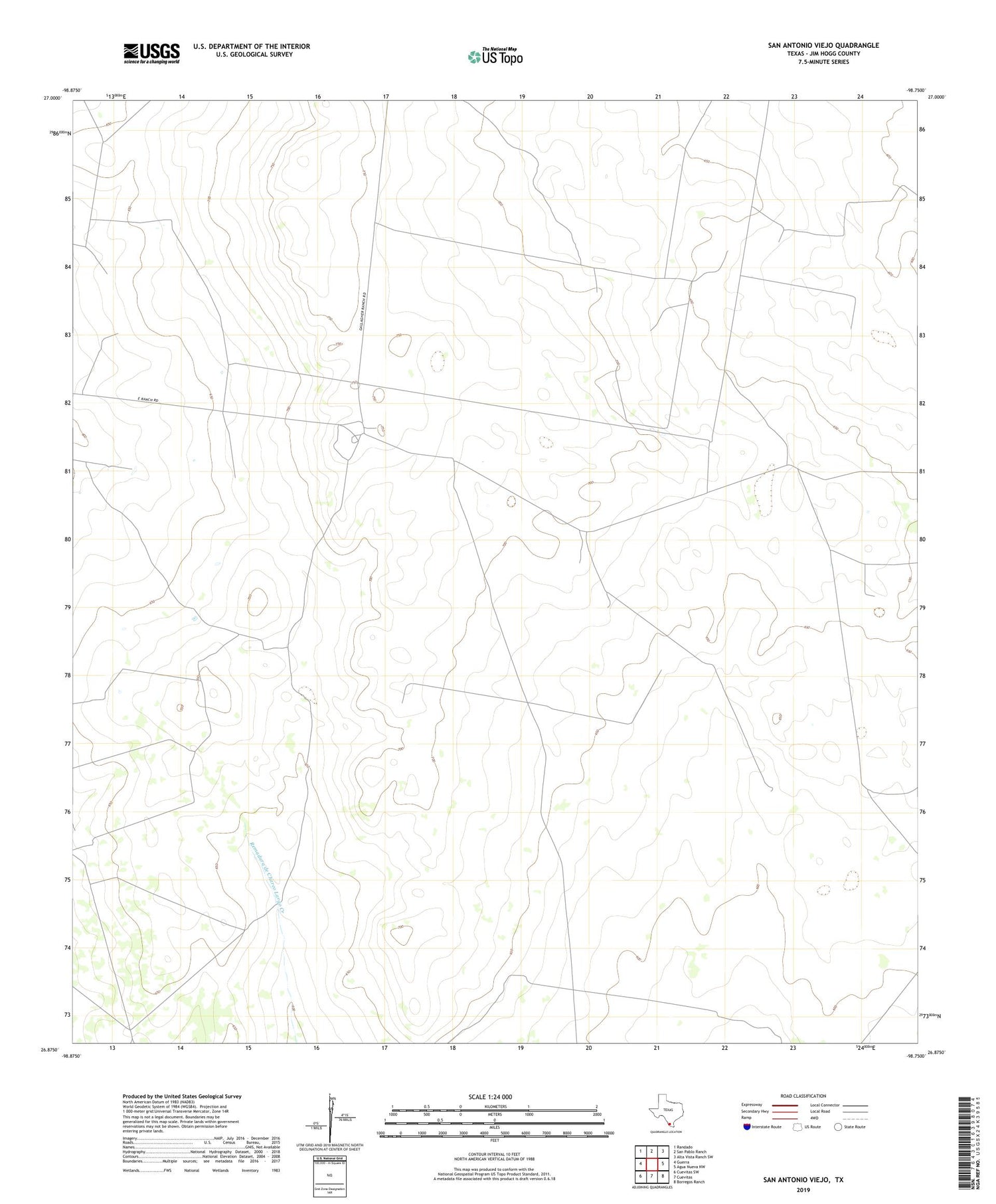
2019 topographic map quadrangle San Antonio Viejo in the state of Texas. Scale: 1:24000. Based on the newly updated USGS 7.5' US Topo map series, this map is in the following counties: Jim Hogg. The map contains contour data, water features, and other items you are used to seeing on USGS maps, but also has updated roads and other features. This is the next generation of topographic maps. Printed on high-quality waterproof paper with UV fade-resistant inks.
Quads adjacent to this one:
West: Guerra
Northwest: Randado
North: San Pablo Ranch
Northeast: Alta Vista Ranch SW
East: Agua Nueva NW
Southeast: Borregos Ranch
South: Cuevitas
Southwest: Cuevitas SW
Contains the following named places: Alazan Windmill, Blanco Windmill, Caballos Windmill, Carranza Windmill, Chapote Windmill, Cisterna Alta Windmill, Esperanza Windmill, Juido Windmill, Lino Ramirez Family Cemetery, Lobo Blanco Windmill, Marranos Windmill, Middle Windmill, Miralejos Windmill, Moritas Windmill, Norte Windmill, Novillo Windmill, Pena Windmill, Pinto Windmill, Poso Windmill, Ramirez Windmill, Rancho Viejo Windmill, Recuerdo Windmill, Rodeo Windmill, San Antonio Viejo, San Pedro Windmill, Verendo Windmill