MyTopo
Cuevitas Texas US Topo Map
Couldn't load pickup availability
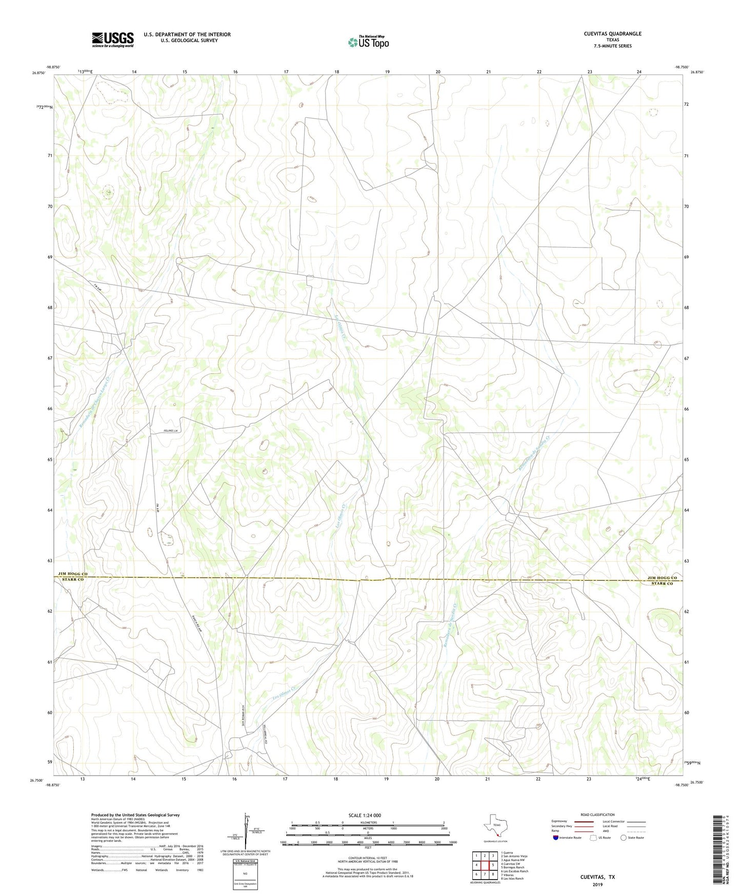
2022 topographic map quadrangle Cuevitas in the state of Texas. Scale: 1:24000. Based on the newly updated USGS 7.5' US Topo map series, this map is in the following counties: Jim Hogg, Starr. The map contains contour data, water features, and other items you are used to seeing on USGS maps, but also has updated roads and other features. This is the next generation of topographic maps. Printed on high-quality waterproof paper with UV fade-resistant inks.
Quads adjacent to this one:
West: Cuevitas SW
Northwest: Guerra
North: San Antonio Viejo
Northeast: Agua Nueva NW
East: Borregos Ranch
Southeast: Las Islas Ranch
South: Viboras
Southwest: Las Escobas Ranch
This map covers the same area as the classic USGS quad with code o26098g7.
Contains the following named places: Agua Blanca Windmill, Agua Buena Windmill, Agua Poquita Windmill, Aguajes Windmill, Alegreias Windmill, Borradita Windmill, Buena Vista Windmill, Carreta Tank, Casa Verde Windmill, Chivo Windmill, Coma Windmill, Cuevitas, Division Windmill, Ebanito Windmills, Frijollio Windmill, Las Comas Windmill, Medanito Windmill, Norte Windmill, Pitalla Windmill, Reforma Windmill, Rey Windmill, San Eduardo Windmills, San Roman, San Valentine Windmill, Santa Josefa Windmill, Tequileras Windmill, Venado Windmill