MyTopo
Scotland SE Texas US Topo Map
Couldn't load pickup availability
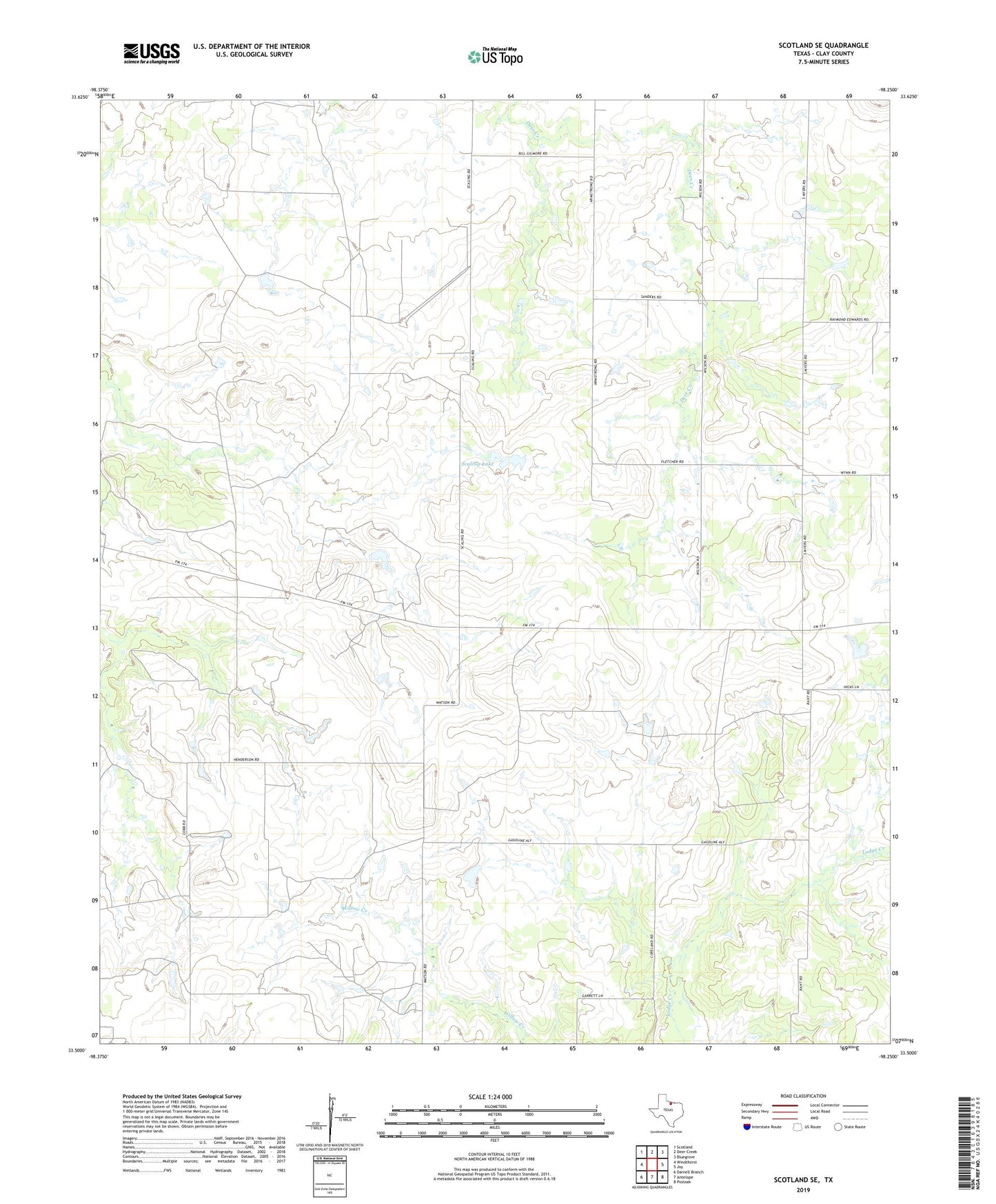
2019 topographic map quadrangle Scotland SE in the state of Texas. Scale: 1:24000. Based on the newly updated USGS 7.5' US Topo map series, this map is in the following counties: Clay. The map contains contour data, water features, and other items you are used to seeing on USGS maps, but also has updated roads and other features. This is the next generation of topographic maps. Printed on high-quality waterproof paper with UV fade-resistant inks.
Quads adjacent to this one:
West: Windthorst
Northwest: Scotland
North: Deer Creek
Northeast: Bluegrove
East: Joy
Southeast: Postoak
South: Antelope
Southwest: Darnell Branch
Contains the following named places: Lazy B Oil Field, McKinlay Oil Field, Scaling Lake, Scaling Lake Dam