MyTopo
Shell Mountains Texas US Topo Map
Couldn't load pickup availability
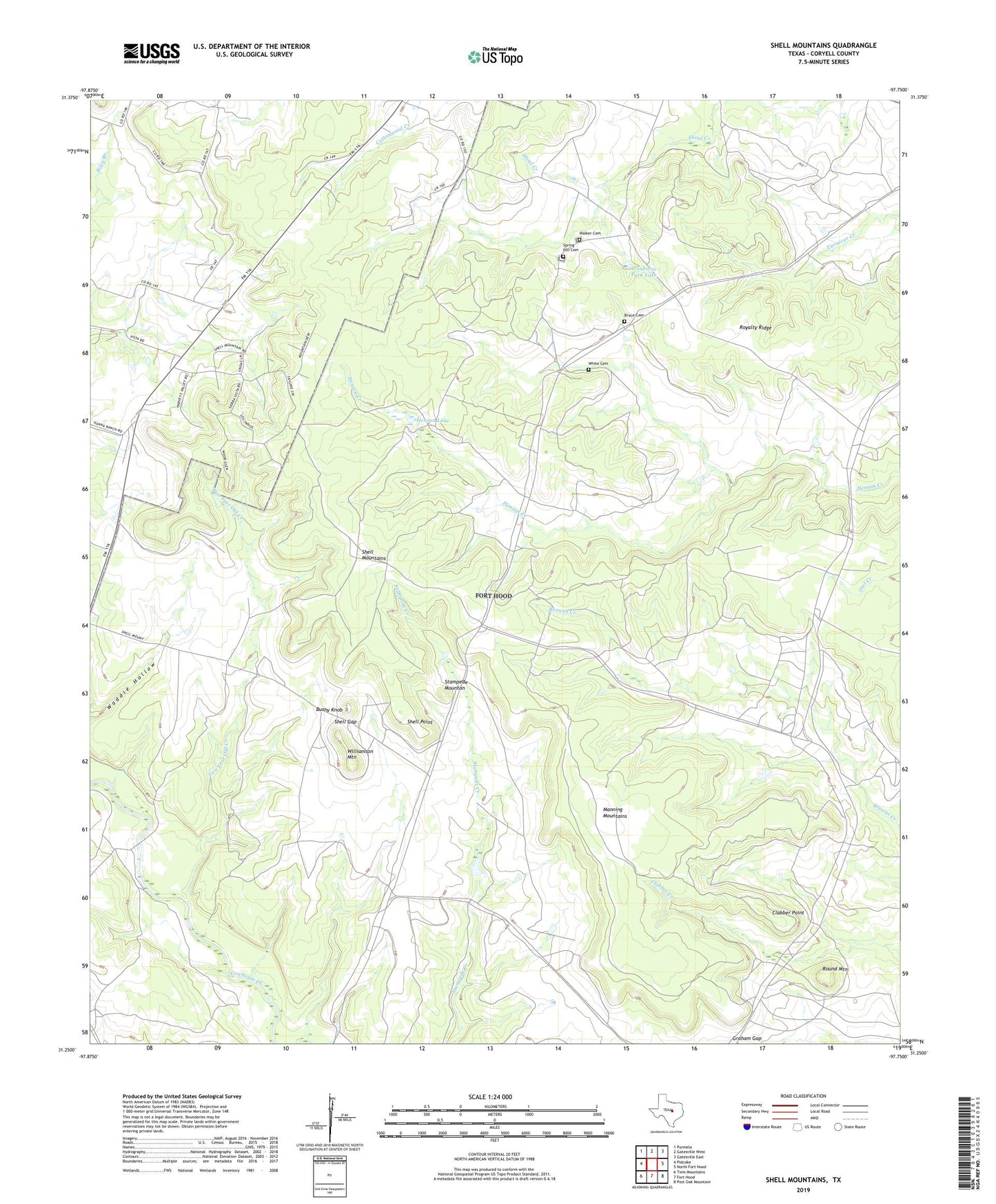
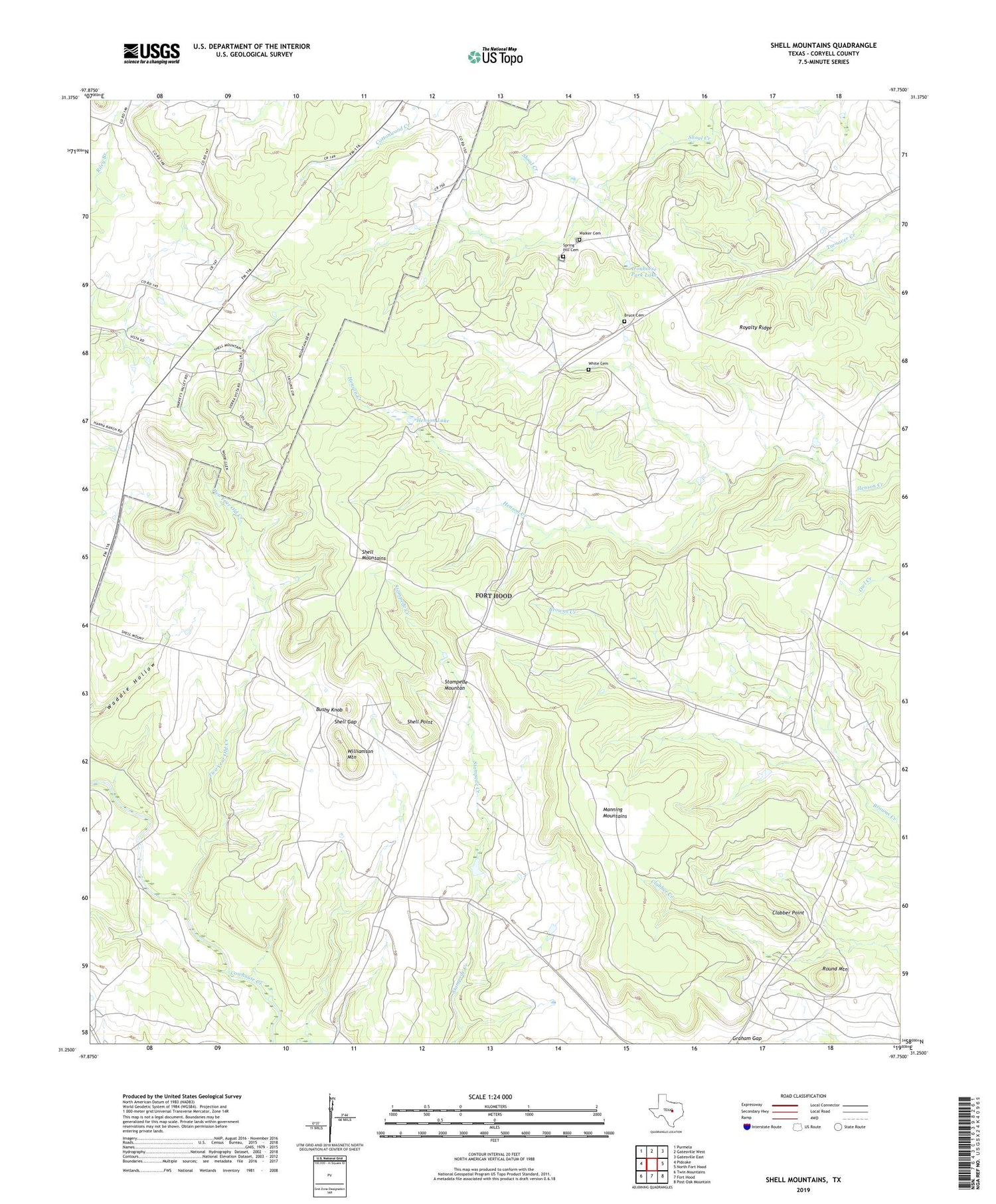
2019 topographic map quadrangle Shell Mountains in the state of Texas. Scale: 1:24000. Based on the newly updated USGS 7.5' US Topo map series, this map is in the following counties: Coryell. The map contains contour data, water features, and other items you are used to seeing on USGS maps, but also has updated roads and other features. This is the next generation of topographic maps. Printed on high-quality waterproof paper with UV fade-resistant inks.
Quads adjacent to this one:
West: Pidcoke
Northwest: Purmela
North: Gatesville West
Northeast: Gatesville East
East: North Fort Hood
Southeast: Post Oak Mountain
South: Fort Hood
Southwest: Twin Mountains
Contains the following named places: Bruce Cemetery, Bushy Knob, Clabber Point, Graham Gap, Henson Lake, Henson Lake Dam, Ironhorse Park Lake, Ironhorse Park Lake Dam, Manning Mountains, Round Mountain, Royalty Ridge, Shell Gap, Shell Mountains, Shell Point, Spring Hill Cemetery, Stampede Mountan, Two Year Old Creek, Walker Cemetery, White Cemetery, Williamson Mountain