MyTopo
Purmela Texas US Topo Map
Couldn't load pickup availability
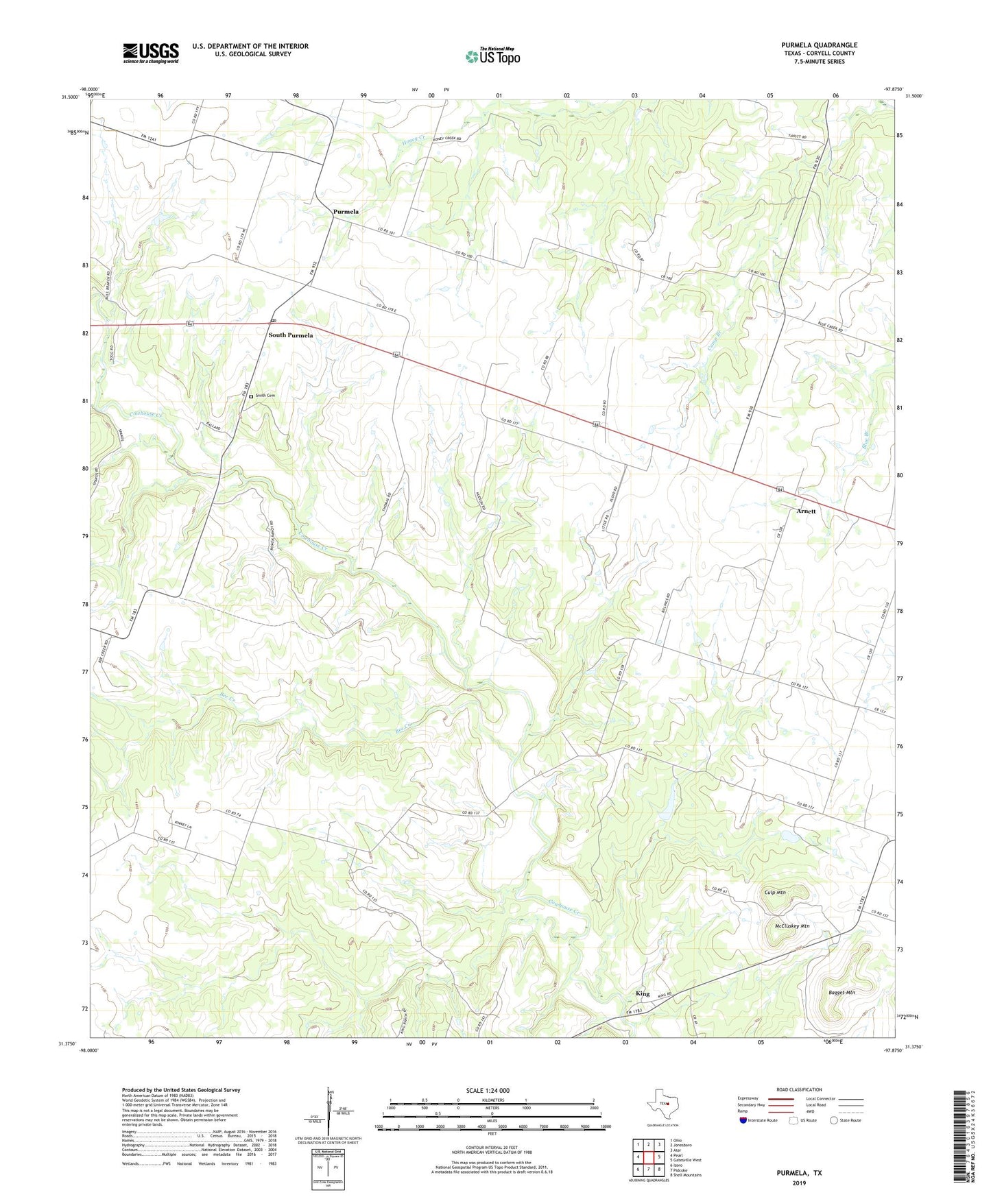
2022 topographic map quadrangle Purmela in the state of Texas. Scale: 1:24000. Based on the newly updated USGS 7.5' US Topo map series, this map is in the following counties: Coryell. The map contains contour data, water features, and other items you are used to seeing on USGS maps, but also has updated roads and other features. This is the next generation of topographic maps. Printed on high-quality waterproof paper with UV fade-resistant inks.
Quads adjacent to this one:
West: Pearl
Northwest: Ohio
North: Jonesboro
Northeast: Ater
East: Gatesville West
Southeast: Shell Mountains
South: Pidcoke
Southwest: Izoro
This map covers the same area as the classic USGS quad with code o31097d8.
Contains the following named places: Arnett, Bagget Mountain, Bee Creek, Bethel Heights Church, Camp Branch, Culp Mountain, King, McCluskey Mountain, Purmela, Purmela Post Office, Purmela School, Purmela-Levita Division, Smith Cemetery, South Purmela