MyTopo
Sheridan Texas US Topo Map
Couldn't load pickup availability
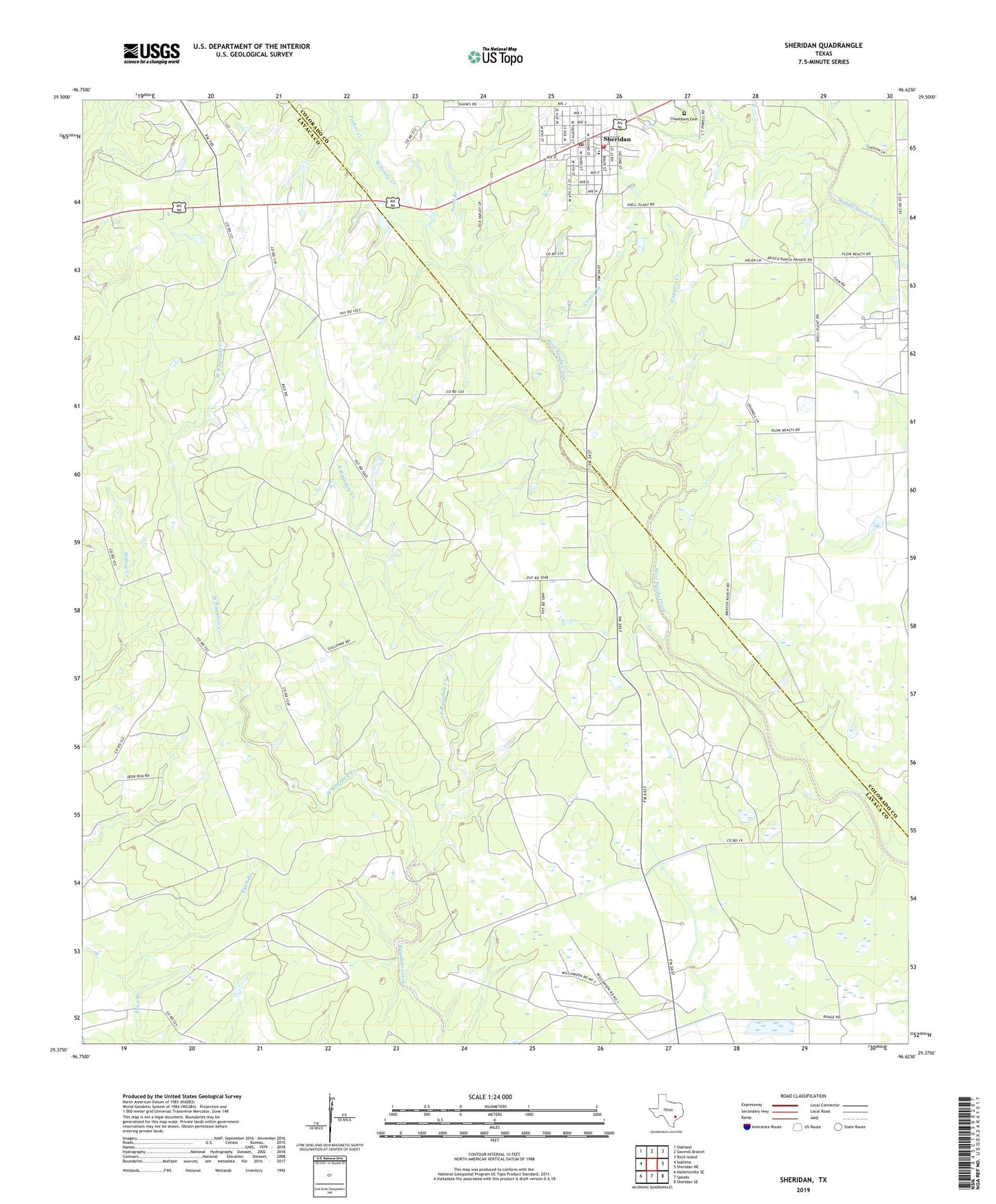
2019 topographic map quadrangle Sheridan in the state of Texas. Scale: 1:24000. Based on the newly updated USGS 7.5' US Topo map series, this map is in the following counties: Lavaca, Colorado. The map contains contour data, water features, and other items you are used to seeing on USGS maps, but also has updated roads and other features. This is the next generation of topographic maps. Printed on high-quality waterproof paper with UV fade-resistant inks.
Quads adjacent to this one:
West: Sublime
Northwest: Oakland
North: Sawmill Branch
Northeast: Rock Island
East: Sheridan NE
Southeast: Sheridan SE
South: Speaks
Southwest: Hallettsville SE
Contains the following named places: Calhoun County Public Library, Cheetham Cemetery, Coppers Creek, East Ragsdale Creek, Parker Creek, Sand Branch, Sheridan, Sheridan Elementary School, Sheridan Post Office, Sheridan Volunteer Fire Department, Urmey Branch, Vienna Gas Field, West Ragsdale Creek, Wolf Branch, ZIP Code: 77475