MyTopo
Sonora SE Texas US Topo Map
Couldn't load pickup availability
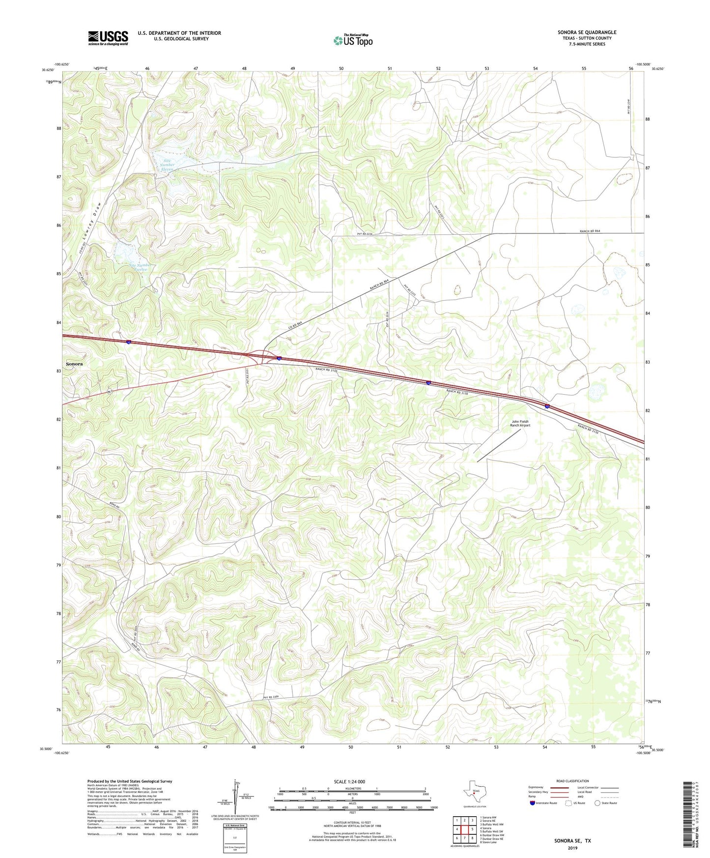
2022 topographic map quadrangle Sonora SE in the state of Texas. Scale: 1:24000. Based on the newly updated USGS 7.5' US Topo map series, this map is in the following counties: Sutton. The map contains contour data, water features, and other items you are used to seeing on USGS maps, but also has updated roads and other features. This is the next generation of topographic maps. Printed on high-quality waterproof paper with UV fade-resistant inks.
Quads adjacent to this one:
West: Sonora
Northwest: Sonora NW
North: Sonora NE
Northeast: Buffalo Well NW
East: Buffalo Well SW
Southeast: Steen Lake
South: Dunbar Draw NE
Southwest: Dunbar Draw NW
This map covers the same area as the classic USGS quad with code o30100e5.
Contains the following named places: Allison Ranch, Askey Ranch, H Fields Ranch, J Fields Ranch, John Fields Ranch Airport, Keene Ranch, Miers Ranch, Site Number Eleven, Site Number Twelve, Soil Conservation Service Site 11 Dam, Soil Conservation Service Site 12 Dam, Stites Ranch, Threemile Well, W Fields Ranch