MyTopo
South Bird Island Texas US Topo Map
Couldn't load pickup availability
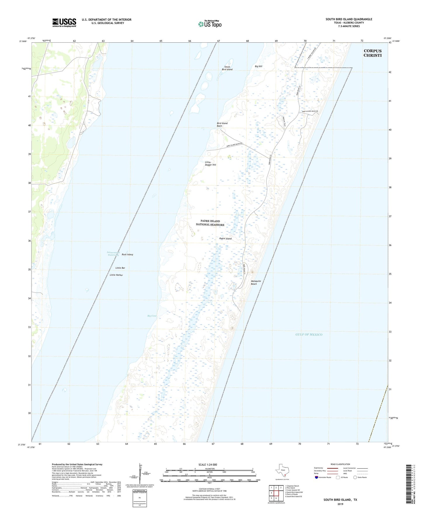
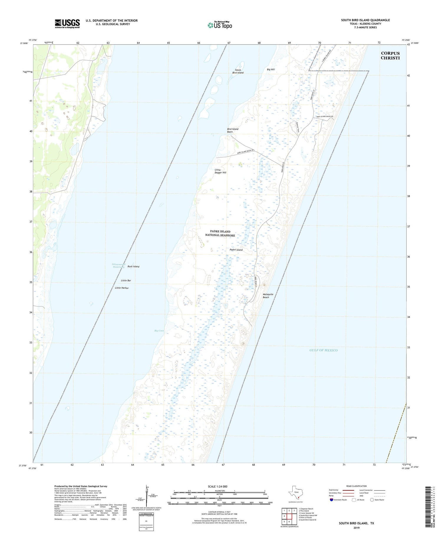
2019 topographic map quadrangle South Bird Island in the state of Texas. Scale: 1:24000. Based on the newly updated USGS 7.5' US Topo map series, this map is in the following counties: Kleberg. The map contains contour data, water features, and other items you are used to seeing on USGS maps, but also has updated roads and other features. This is the next generation of topographic maps. Printed on high-quality waterproof paper with UV fade-resistant inks.
Quads adjacent to this one:
West: South Bird Island NW
Northwest: Chapman Ranch
North: Pita Island
Northeast: Crane Islands SW
South: South Bird Island SE
Southwest: Point of Rocks
Contains the following named places: Beacon Number 57, Beacon Number 63, Beacon Number 69, Beacon Number 75, Beacon Number 83, Big Cove, Big Hill, Bird Island Basin, Dunn Ranch -A1541 Novillo Line Camp, Little Bar, Little Dagger Hill, Little Harbor, Lobo Windmill, Malaquite Beach, Malaquite Beach Development, Novilla Windmill, Rock Island, South Bird Island