MyTopo
Crane Islands SW Texas US Topo Map
Couldn't load pickup availability
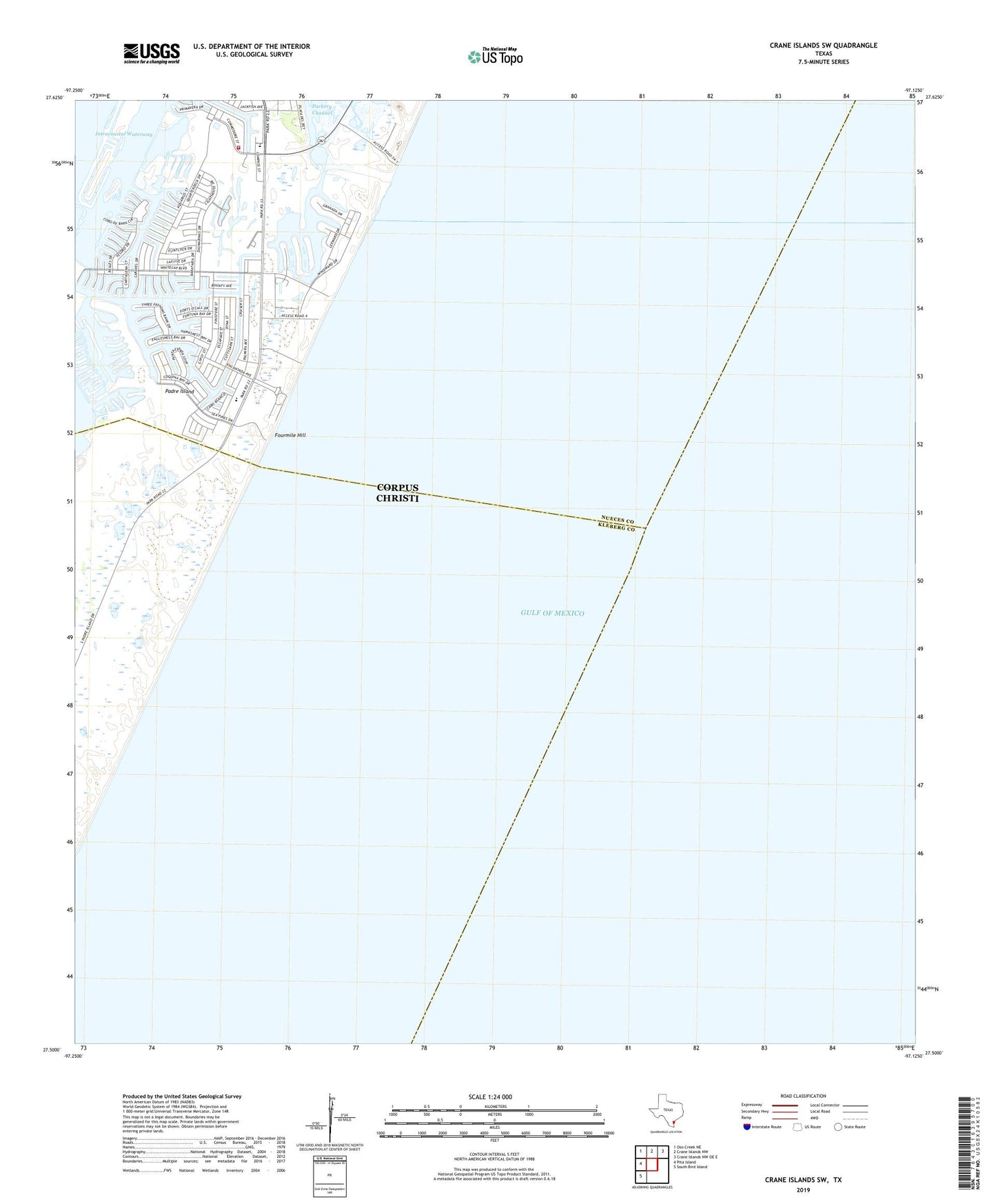
2025 topographic map quadrangle Crane Islands SW in the state of Texas. Scale: 1:24000. Based on the newly updated USGS 7.5' US Topo map series, this map is in the following counties: Nueces, Kleberg. The map contains contour data, water features, and other items you are used to seeing on USGS maps, but also has updated roads and other features. This is the next generation of topographic maps. Printed on high-quality waterproof paper with UV fade-resistant inks.
Quads adjacent to this one:
West: Pita Island
Northwest: Oso Creek NE
North: Crane Islands NW
Northeast: Crane Islands NW OE E
Southwest: South Bird Island
This map covers the same area as the classic USGS quad with code o27097e2.
Contains the following named places: Bob Hall Pier, Corpus Christi Fire Department Station 15, Fourmile Hill, Island Presbyterian Church, Light Twentyone, Packery Channel, Padre Bali Park, Range A Light, Saint Andrew by the Sea Catholic Church, Seashore Learning Center