MyTopo
South Bird Island SE Texas US Topo Map
Couldn't load pickup availability
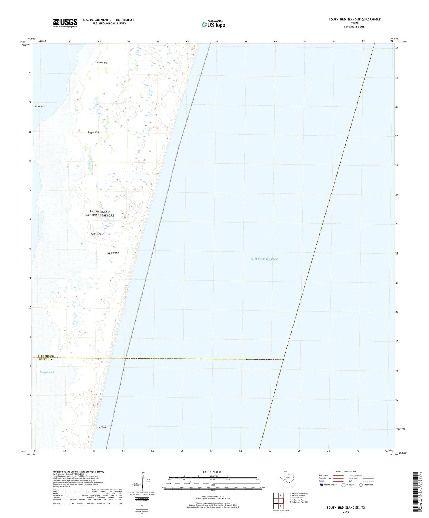
2025 topographic map quadrangle South Bird Island SE in the state of Texas. Scale: 1:24000. Based on the newly updated USGS 7.5' US Topo map series, this map is in the following counties: Kleberg, Kenedy. The map contains contour data, water features, and other items you are used to seeing on USGS maps, but also has updated roads and other features. This is the next generation of topographic maps. Printed on high-quality waterproof paper with UV fade-resistant inks.
Quads adjacent to this one:
West: Point of Rocks
Northwest: South Bird Island NW
North: South Bird Island
South: Yarborough Pass OE E
Southwest: Yarborough Pass
This map covers the same area as the classic USGS quad with code o27097c3.
Contains the following named places: Big Ball Hill, Boggy Slough, Dagger Hill, Green Hill, Janes Hole, Little Shell