MyTopo
Square Mesa Texas US Topo Map
Couldn't load pickup availability
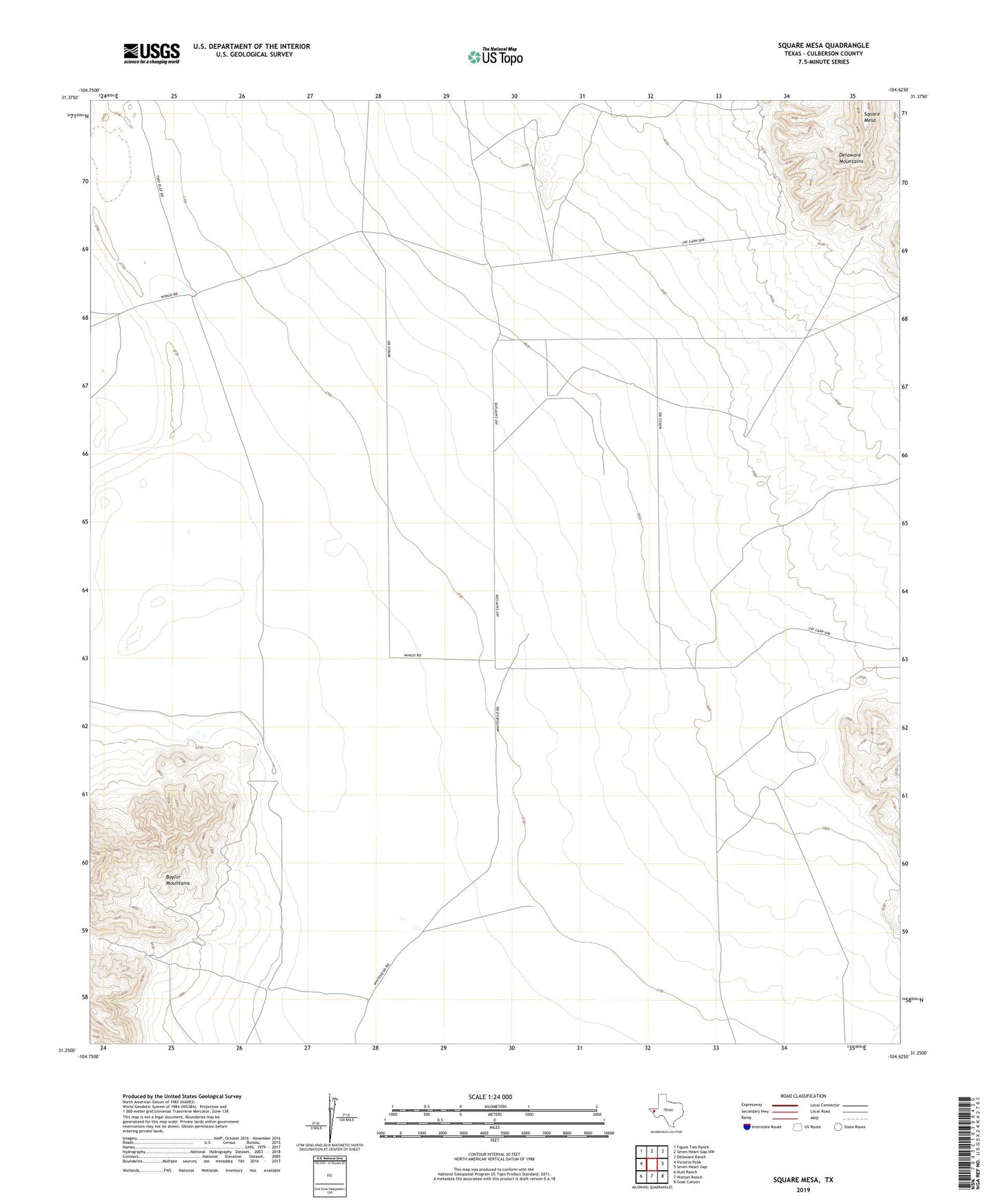
2019 topographic map quadrangle Square Mesa in the state of Texas. Scale: 1:24000. Based on the newly updated USGS 7.5' US Topo map series, this map is in the following counties: Culberson. The map contains contour data, water features, and other items you are used to seeing on USGS maps, but also has updated roads and other features. This is the next generation of topographic maps. Printed on high-quality waterproof paper with UV fade-resistant inks.
Quads adjacent to this one:
West: Victorio Peak
Northwest: Figure Two Ranch
North: Seven Heart Gap NW
Northeast: Delaware Ranch
East: Seven Heart Gap
Southeast: Goat Canyon
South: Watson Ranch
Southwest: Nutt Ranch
Contains the following named places: Brush Well, Hammett Well, Square Mesa, Stark North Well