MyTopo
Delaware Ranch Texas US Topo Map
Couldn't load pickup availability
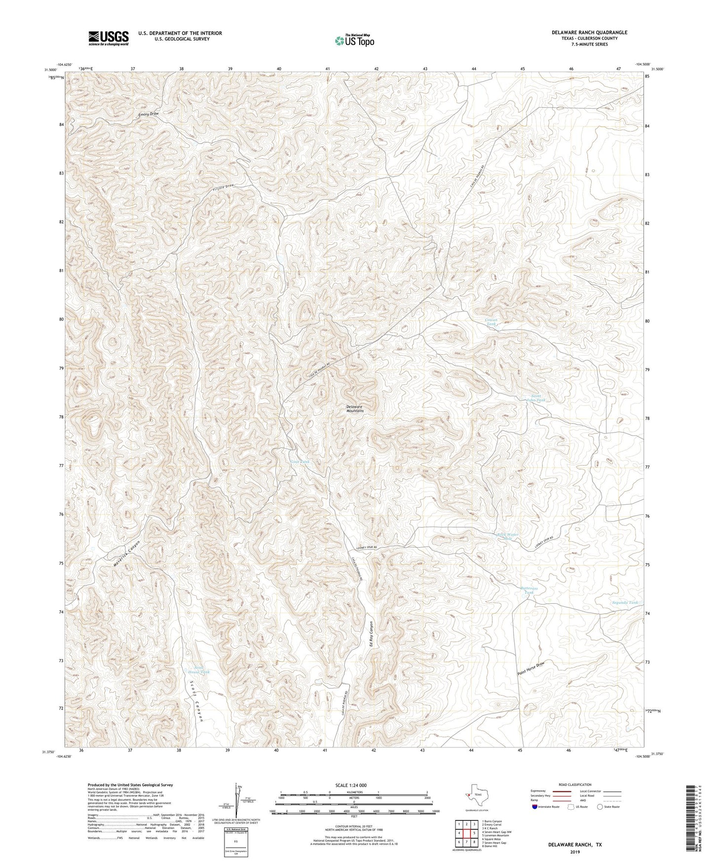
2022 topographic map quadrangle Delaware Ranch in the state of Texas. Scale: 1:24000. Based on the newly updated USGS 7.5' US Topo map series, this map is in the following counties: Culberson. The map contains contour data, water features, and other items you are used to seeing on USGS maps, but also has updated roads and other features. This is the next generation of topographic maps. Printed on high-quality waterproof paper with UV fade-resistant inks.
Quads adjacent to this one:
West: Seven Heart Gap NW
Northwest: Burro Canyon
North: Emory Corral
Northeast: K C Ranch
East: Loneman Mountain
Southeast: Dome Hill
South: Seven Heart Gap
Southwest: Square Mesa
This map covers the same area as the classic USGS quad with code o31104d5.
Contains the following named places: Butterass Tank, Cowan Tank, Culberson County, Delaware Ranch Tank, Goat Tank, Rock Water Hole, Saint John Tank, Scott House Tank, Segunda Tank, Van Horn Rural Division