MyTopo
Sulphur Bluff Texas US Topo Map
Couldn't load pickup availability
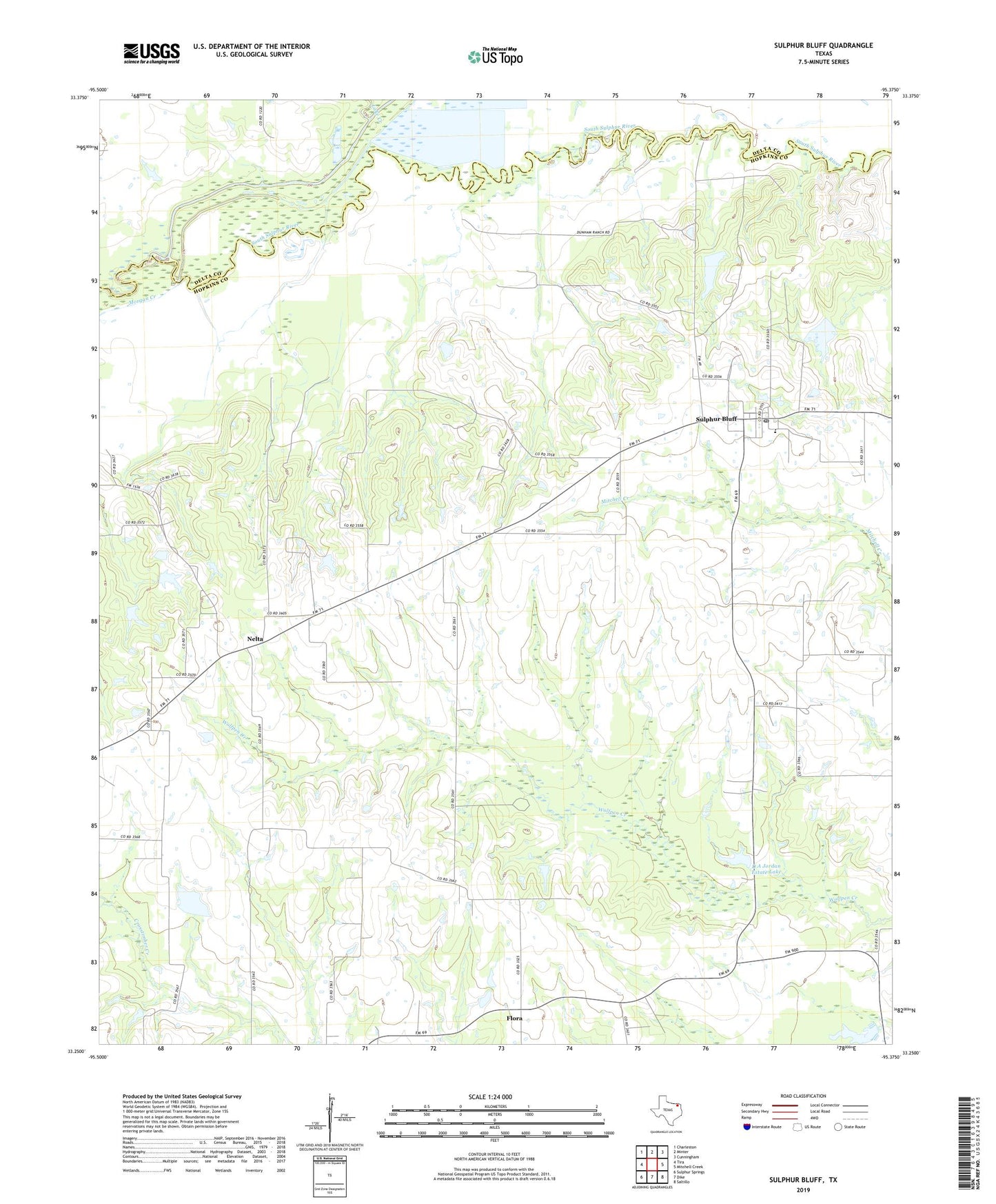
2019 topographic map quadrangle Sulphur Bluff in the state of Texas. Scale: 1:24000. Based on the newly updated USGS 7.5' US Topo map series, this map is in the following counties: Hopkins, Delta. The map contains contour data, water features, and other items you are used to seeing on USGS maps, but also has updated roads and other features. This is the next generation of topographic maps. Printed on high-quality waterproof paper with UV fade-resistant inks.
Quads adjacent to this one:
West: Tira
Northwest: Charleston
North: Minter
Northeast: Cunningham
East: Mitchell Creek
Southeast: Saltillo
South: Dike
Southwest: Sulphur Springs
Contains the following named places: D A Jordan Estate Lake, D A Jordan Estate Lake Dam, East Dike Church, Flora, Lake Creek, Morgan Creek, Nelta, North Hopkins-Sulphur Bluff Division, Sulphur Bluff, Sulphur Bluff Oil Field, Sulphur Bluff Post Office, Wholecattle Feeders Dam A, Wholecattle Feeders Lake A, ZIP Code: 75437