MyTopo
Thomas Springs Texas US Topo Map
Couldn't load pickup availability
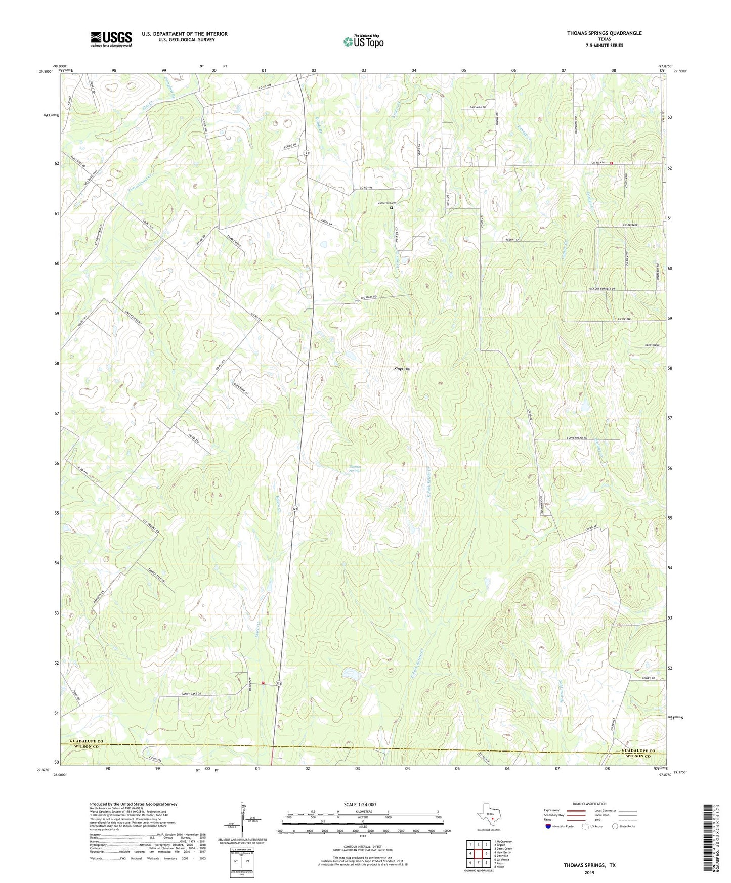
2019 topographic map quadrangle Thomas Springs in the state of Texas. Scale: 1:24000. Based on the newly updated USGS 7.5' US Topo map series, this map is in the following counties: Guadalupe, Wilson. The map contains contour data, water features, and other items you are used to seeing on USGS maps, but also has updated roads and other features. This is the next generation of topographic maps. Printed on high-quality waterproof paper with UV fade-resistant inks.
Quads adjacent to this one:
West: New Berlin
Northwest: McQueeney
North: Seguin
Northeast: Darst Creek
East: Dewville
Southeast: Nixon
South: Alum
Southwest: La Vernia
Contains the following named places: Campbell Branch, Cordell Creek, County Line Fire Department, Elm Creek, Jakes Colony, Jakes Colony Church, Kings Hill, Neyland Cemetery, Sand Hills Volunteer Fire Department, Thomas Springs, Weinert Ranch, Zion Hill Cemetery, Zion Hill Church