
MyTopo
Three Islands Texas US Topo Map
Couldn't load pickup availability
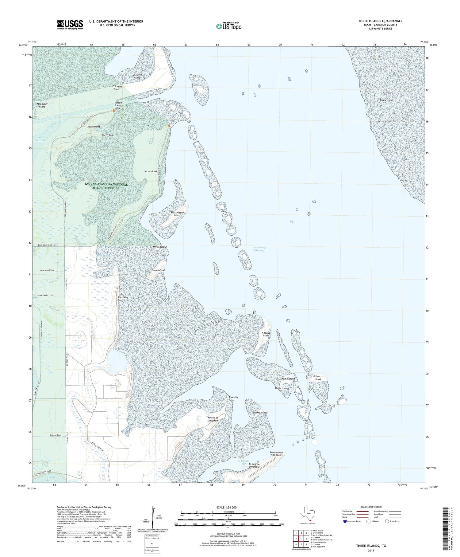
2019 topographic map quadrangle Three Islands in the state of Texas. Scale: 1:24000. Based on the newly updated USGS 7.5' US Topo map series, this map is in the following counties: Cameron. The map contains contour data, water features, and other items you are used to seeing on USGS maps, but also has updated roads and other features. This is the next generation of topographic maps. Printed on high-quality waterproof paper with UV fade-resistant inks.
Quads adjacent to this one:
West: La Leona
Northwest: Hawk Island
North: Green Island
Northeast: North of Port Isabel NW
East: North of Port Isabel SW
Southeast: Port Isabel NW
South: La Coma
Southwest: Laguna Atascosa
Contains the following named places: Caballo Island, Colorado Island, El Morro Island, El Realito Bay, El Realito Peninsula, Heron Island, Horse Island, Los Bencos de en Medio, McGilvery Island, Medio Island, North Point, Primero Island, Rancho Buena Vista Airport, Rattlesnake Island, Red Head Bluff, Red Head Cove, Rincon Buena Vista, Rincon de Guajardo, Three Islands, Townsite Point, Ultimo Island, Worth Point, Yucca Island


