MyTopo
Tule Lake Texas US Topo Map
Couldn't load pickup availability
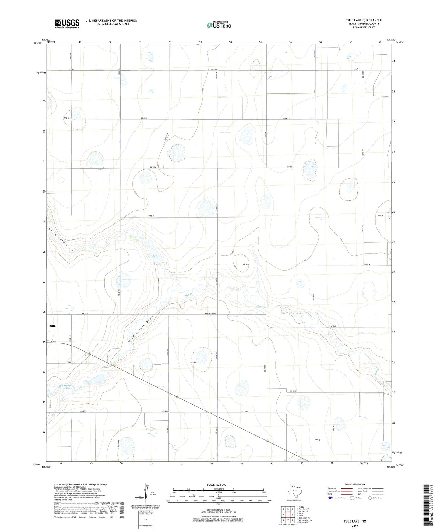
2022 topographic map quadrangle Tule Lake in the state of Texas. Scale: 1:24000. Based on the newly updated USGS 7.5' US Topo map series, this map is in the following counties: Swisher. The map contains contour data, water features, and other items you are used to seeing on USGS maps, but also has updated roads and other features. This is the next generation of topographic maps. Printed on high-quality waterproof paper with UV fade-resistant inks.
Quads adjacent to this one:
West: Tulia
Northwest: Happy
North: Tule Lake NW
Northeast: Jackson Hill
East: Love
Southeast: Claytonville
South: Claytonville NW
Southwest: Edmonson NE
This map covers the same area as the classic USGS quad with code o34101e6.
Contains the following named places: Bill Bivens Dam, Bill Bivens Reservoir, Middle Tule Draw, North Tule Draw, Ray Bivens Dam, Ray Bivens Lake, Swisher County, Tule Lake, Tule Lake Dam, Tulia Division, ZIP Code: 79088