MyTopo
Valley Wells Texas US Topo Map
Couldn't load pickup availability
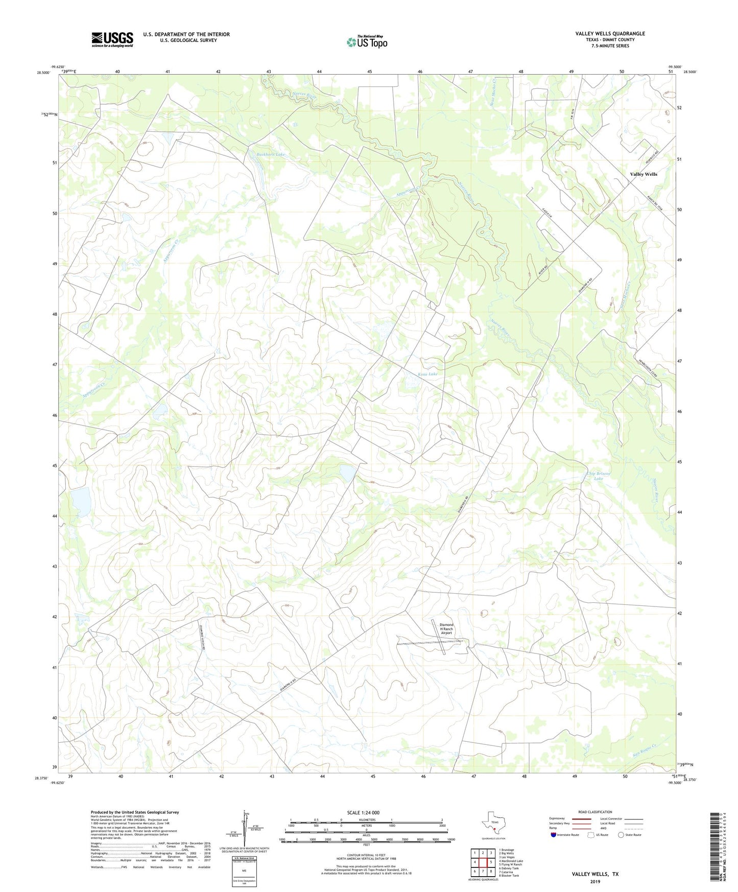
2022 topographic map quadrangle Valley Wells in the state of Texas. Scale: 1:24000. Based on the newly updated USGS 7.5' US Topo map series, this map is in the following counties: Dimmit. The map contains contour data, water features, and other items you are used to seeing on USGS maps, but also has updated roads and other features. This is the next generation of topographic maps. Printed on high-quality waterproof paper with UV fade-resistant inks.
Quads adjacent to this one:
West: MacDonald Lake
Northwest: Brundage
North: Big Wells
Northeast: Las Vegas
East: Flying W Ranch
Southeast: Blocker Tank
South: Catarina
Southwest: Dabney Tank
This map covers the same area as the classic USGS quad with code o28099d5.
Contains the following named places: Appurceon Creek, Buckhorn Lake, Chip Briscoe Lake, Chip Briscoe Lake Dam, Diamond H Ranch, Diamond H Ranch Airport, Good Luck Oil Field, Kone Lake, Kone Lake Dam, Valley Wells, Valley Wells Cemetery