MyTopo
Weesatche Texas US Topo Map
Couldn't load pickup availability
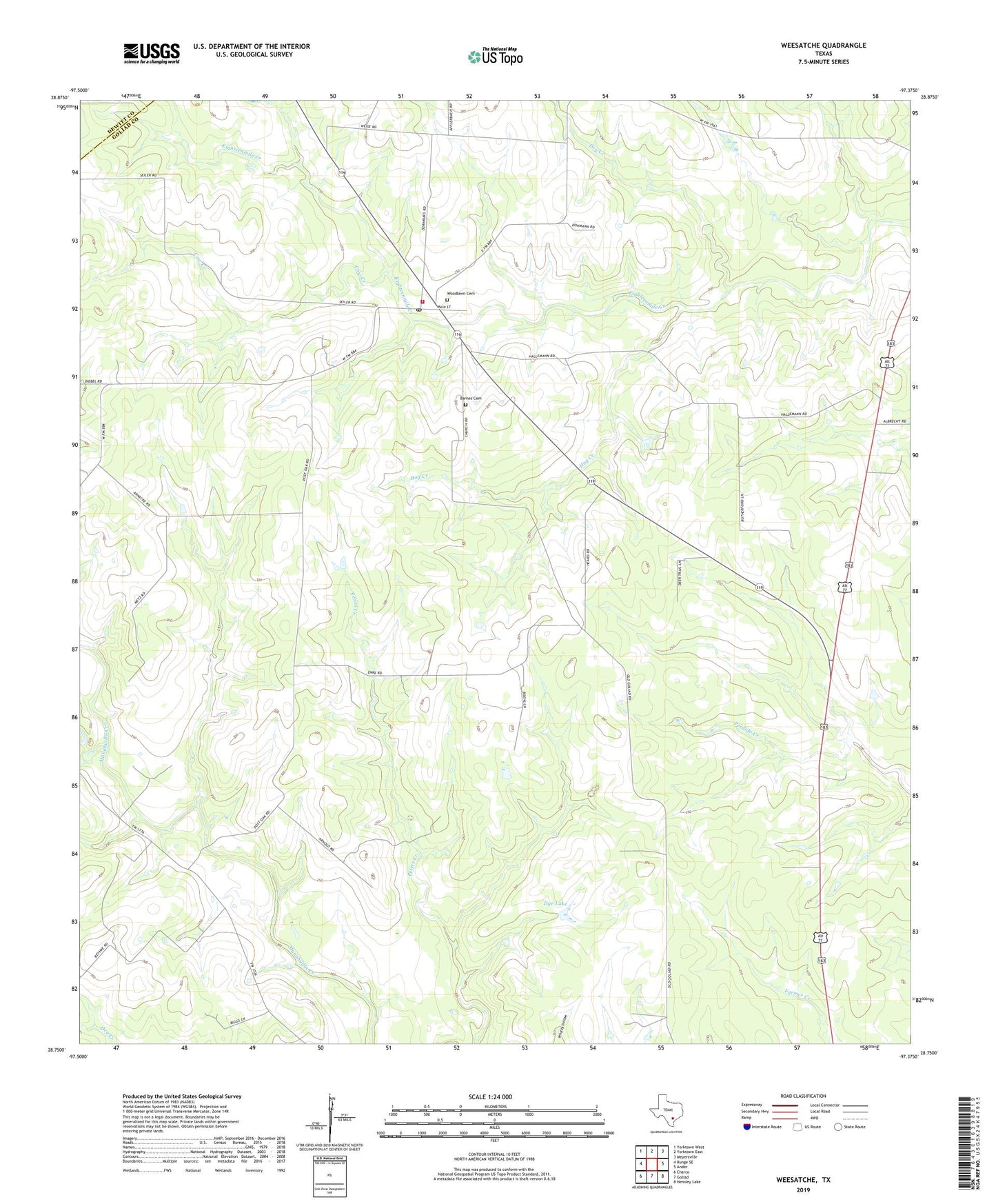
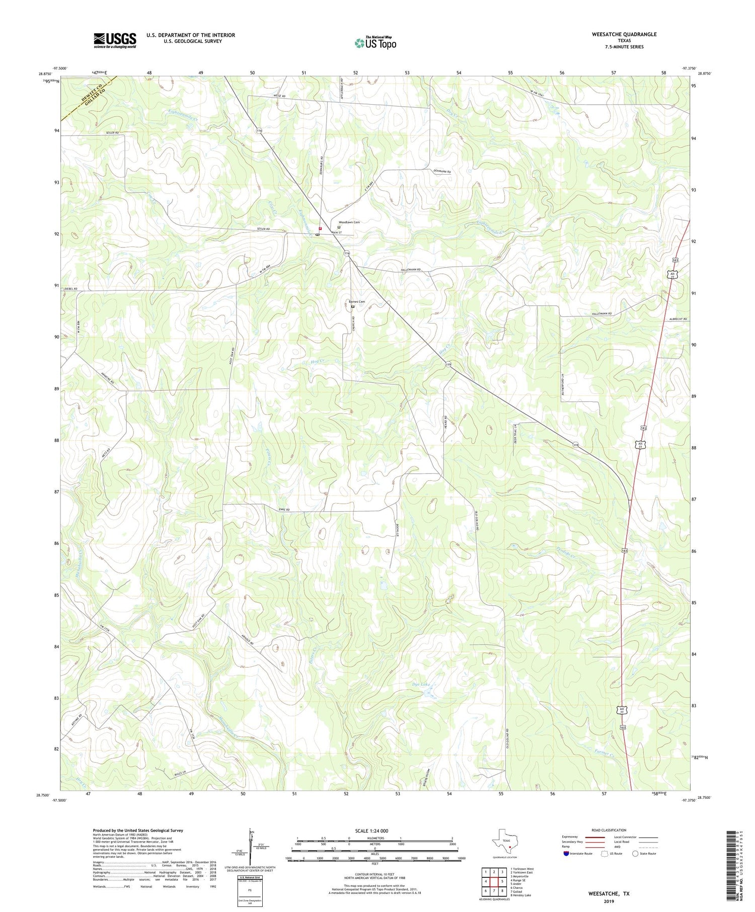
2019 topographic map quadrangle Weesatche in the state of Texas. Scale: 1:24000. Based on the newly updated USGS 7.5' US Topo map series, this map is in the following counties: Goliad, DeWitt. The map contains contour data, water features, and other items you are used to seeing on USGS maps, but also has updated roads and other features. This is the next generation of topographic maps. Printed on high-quality waterproof paper with UV fade-resistant inks.
Quads adjacent to this one:
West: Runge SE
Northwest: Yorktown West
North: Yorktown East
Northeast: Meyersville
East: Ander
Southeast: Hensley Lake
South: Goliad
Southwest: Charco
Contains the following named places: Barnes Cemetery, Cow Creek, Dry Creek, Dye Lake, Dye Lake Dam, Gottschalt Gas Field, Hog Creek, Marshall Gas Field, Poehler Gas Field, Saint Andrews Church, Weesatche, Weesatche Gas Field, Weesatche Post Office, Weesatche Volunteer Fire Department, Woodlawn Cemetery, ZIP Code: 77993