MyTopo
Yorktown East Texas US Topo Map
Couldn't load pickup availability
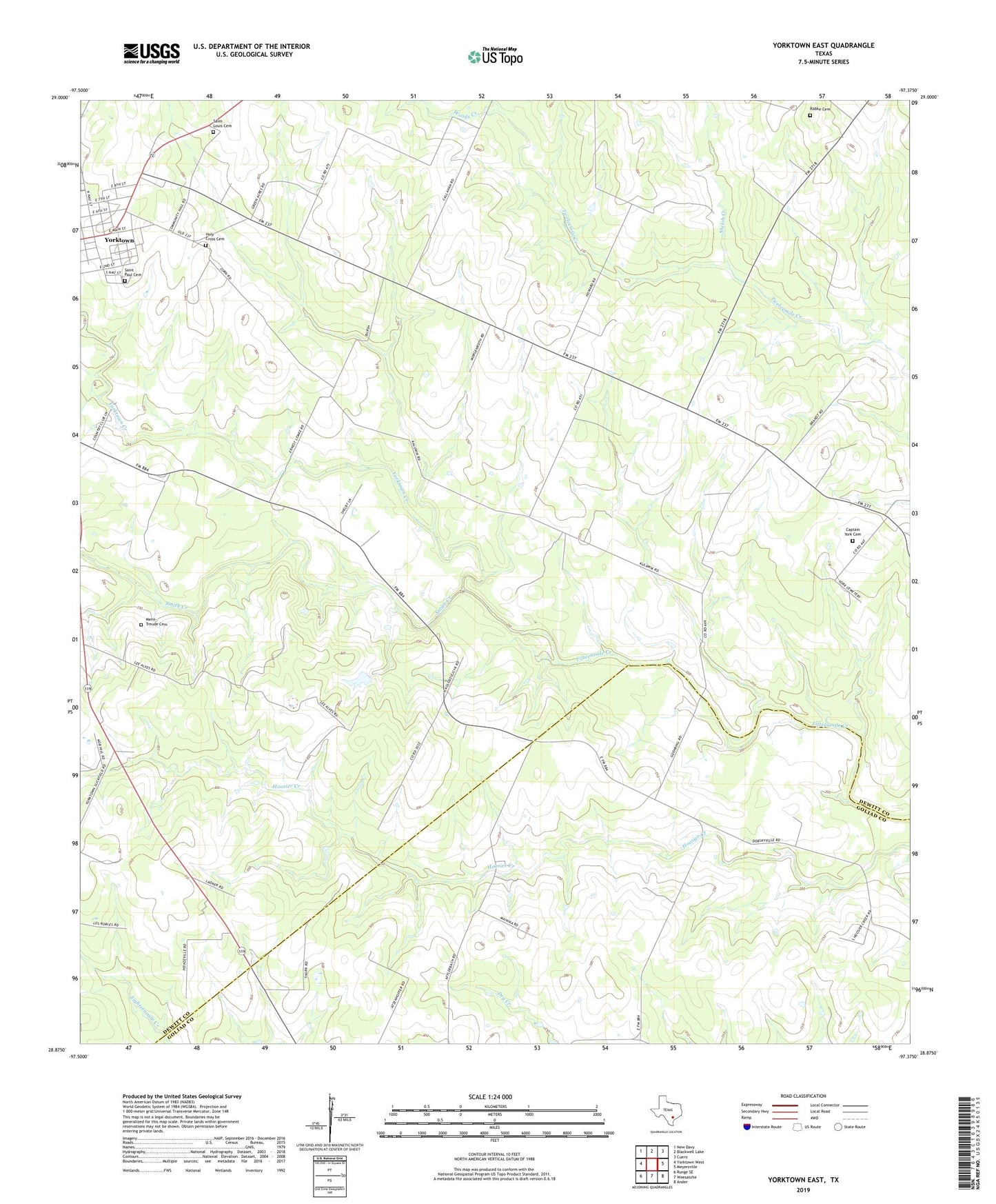
2022 topographic map quadrangle Yorktown East in the state of Texas. Scale: 1:24000. Based on the newly updated USGS 7.5' US Topo map series, this map is in the following counties: DeWitt, Goliad. The map contains contour data, water features, and other items you are used to seeing on USGS maps, but also has updated roads and other features. This is the next generation of topographic maps. Printed on high-quality waterproof paper with UV fade-resistant inks.
Quads adjacent to this one:
West: Yorktown West
Northwest: New Davy
North: Blackwell Lake
Northeast: Cuero
East: Meyersville
Southeast: Ander
South: Weesatche
Southwest: Runge SE
This map covers the same area as the classic USGS quad with code o28097h4.
Contains the following named places: Brandt Oil Field, Captain York Cemetery, Cottonwood Creek, Henze Oil Field, Holly West Oil Field, Holy Cross Cemetery, Holy Cross School, Menn-Treude Cemetery, Rabke Cemetery, Rabke Church, Saint Louis Cemetery, Saint Paul Cemetery, Shiloh Creek, Smith Creek, Woods Creek, Yorktown Airport, Yorktown Country Club, Yorktown Creek, Yorktown Gas Field