MyTopo
Winchester Texas US Topo Map
Couldn't load pickup availability
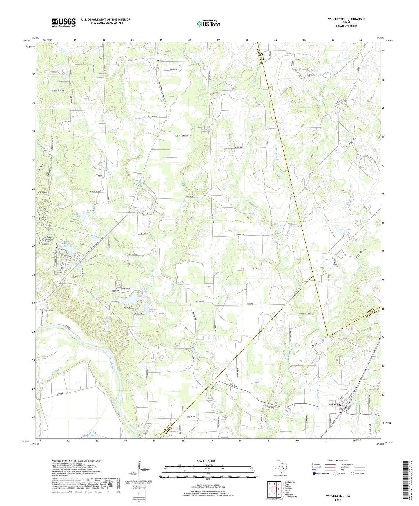
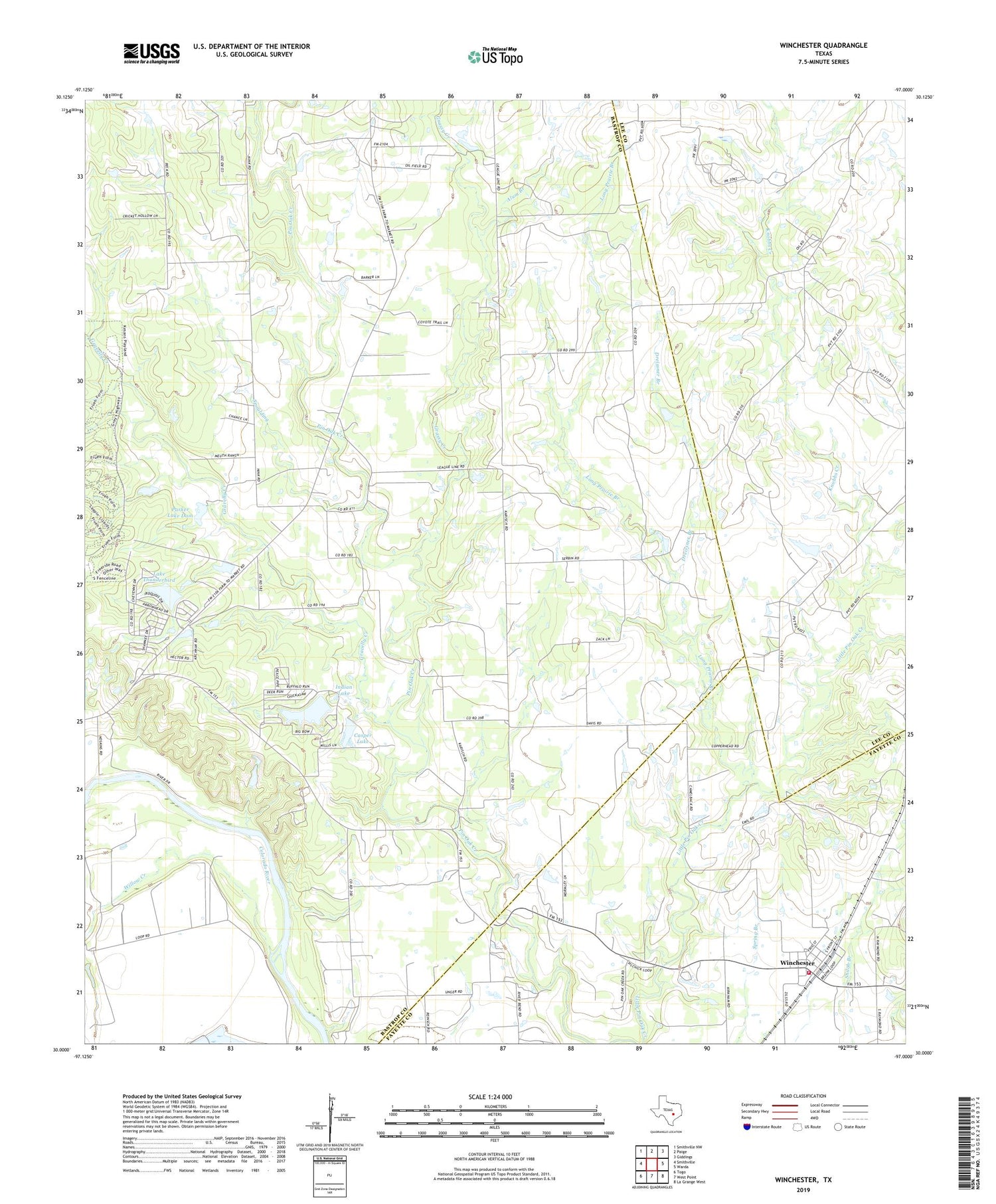
2019 topographic map quadrangle Winchester in the state of Texas. Scale: 1:24000. Based on the newly updated USGS 7.5' US Topo map series, this map is in the following counties: Bastrop, Lee, Fayette. The map contains contour data, water features, and other items you are used to seeing on USGS maps, but also has updated roads and other features. This is the next generation of topographic maps. Printed on high-quality waterproof paper with UV fade-resistant inks.
Quads adjacent to this one:
West: Smithville
Northwest: Smithville NW
North: Paige
Northeast: Giddings
East: Warda
Southeast: La Grange West
South: West Point
Southwest: Togo
Contains the following named places: Alum Branch, Casper Lake, Casper Lake Dam, Center Union School, Dreissner Branch, Goebel Store, Golub Lake, Golub Lake Dam, Grassy Creek, Gravelly Creek, Indian Lake, Indian Lake Dam, Knobbs Creek, Lake Thunderbird, Lake Thunderbird Dam, Live Oak Branch, Long Prairie Branch, Parker Lake Dam, Pin Oak, Spaulding, Willow Creek, Winchester, Winchester Area Volunteer Fire Department