MyTopo
West Point Texas US Topo Map
Couldn't load pickup availability
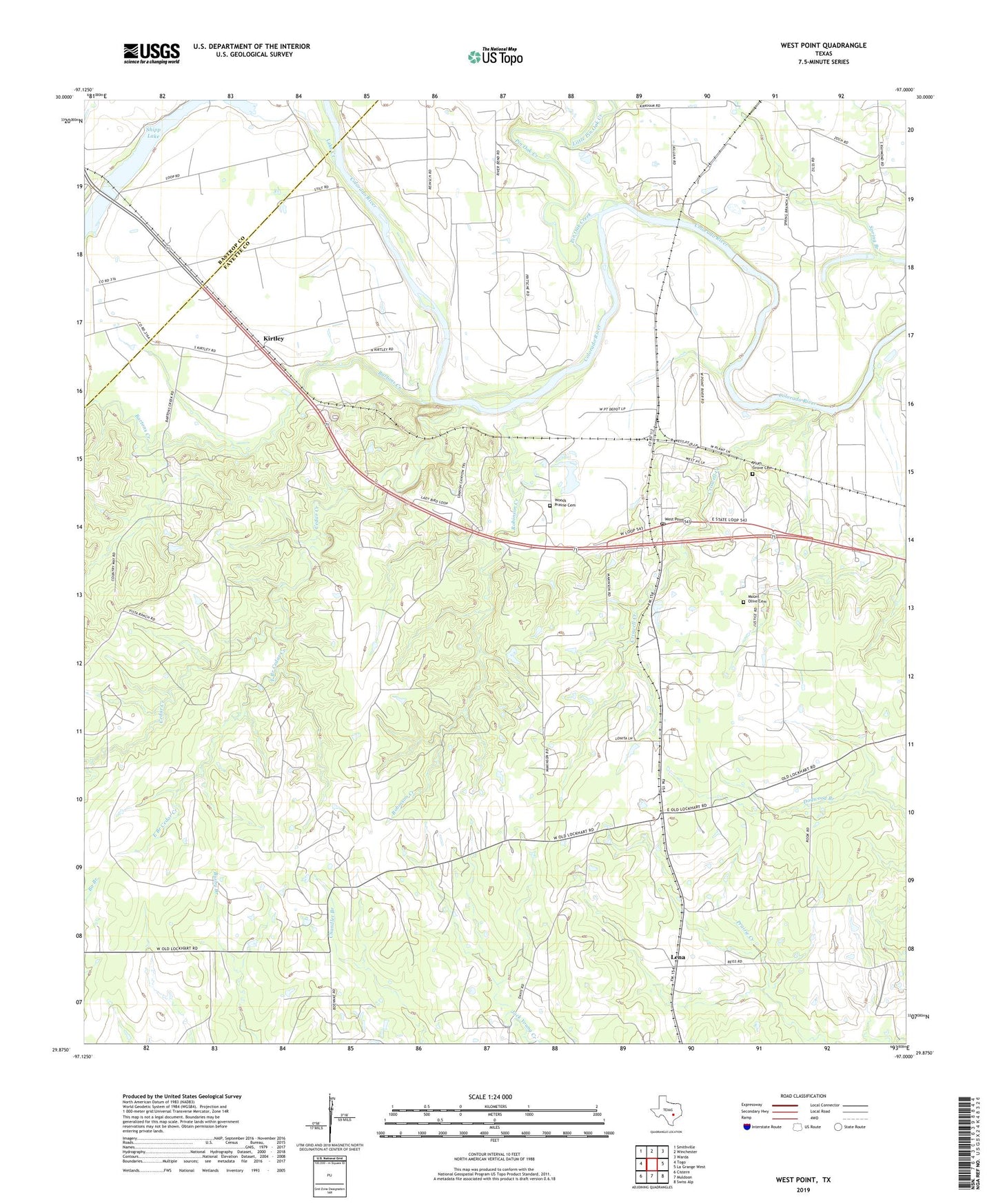
2022 topographic map quadrangle West Point in the state of Texas. Scale: 1:24000. Based on the newly updated USGS 7.5' US Topo map series, this map is in the following counties: Fayette, Bastrop. The map contains contour data, water features, and other items you are used to seeing on USGS maps, but also has updated roads and other features. This is the next generation of topographic maps. Printed on high-quality waterproof paper with UV fade-resistant inks.
Quads adjacent to this one:
West: Togo
Northwest: Smithville
North: Winchester
Northeast: Warda
East: La Grange West
Southeast: Swiss Alp
South: Muldoon
Southwest: Cistern
This map covers the same area as the classic USGS quad with code o29097h1.
Contains the following named places: Bartons Creek, Byler Point Church, Cedar Creek, Criswell Creek, East Branch Cedar Creek, Kirtley, Lena, Little Pin Oak Creek, Mount Olive Cemetery, Pin Oak Creek, Plum Grove Cemetery, Robinson Creek, Shipp Lake, Spring Branch, West Point, West Point Church, West Point Post Office, Woods Prairie Cemetery, ZIP Code: 78963