MyTopo
Woden Texas US Topo Map
Couldn't load pickup availability
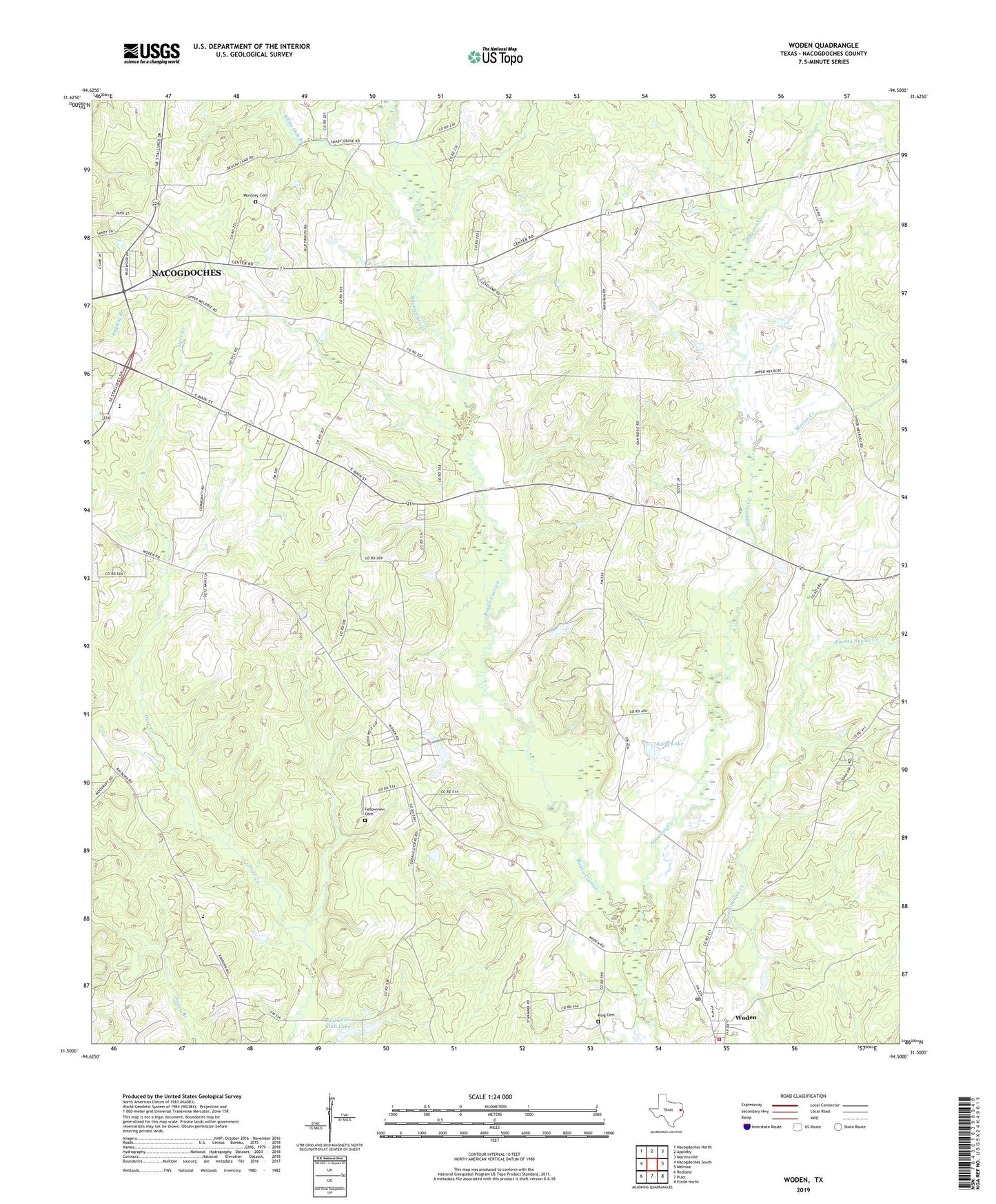
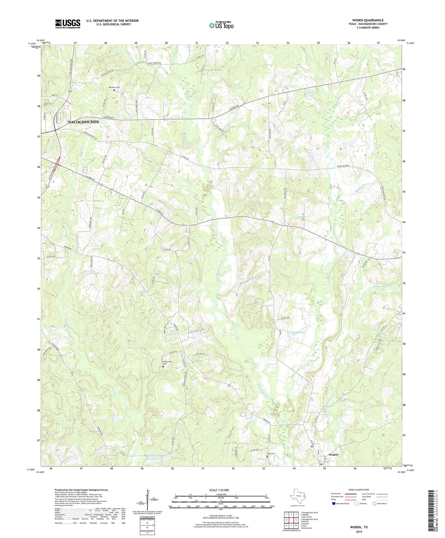
2019 topographic map quadrangle Woden in the state of Texas. Scale: 1:24000. Based on the newly updated USGS 7.5' US Topo map series, this map is in the following counties: Nacogdoches. The map contains contour data, water features, and other items you are used to seeing on USGS maps, but also has updated roads and other features. This is the next generation of topographic maps. Printed on high-quality waterproof paper with UV fade-resistant inks.
Quads adjacent to this one:
West: Nacogdoches South
Northwest: Nacogdoches North
North: Appleby
Northeast: Martinsville
East: Melrose
Southeast: Etoile North
South: Platt
Southwest: Redland
Contains the following named places: Atascoso Creek, Bay Lake Club Dam, Bay Lake Club Lake, Campground Church, Eggnog Branch, Fairview Church, Fellowship, Fellowview Cemetery, Kelly Lake, Kelly Lake Dam, King Cemetery, Lacyville, Martin Creek, Melrose School, Moroney Cemetery, Nacogdoches County, Nacogdoches County Constable's Office Precinct 4, New Hope Church, Oak Ridge, Plainview, Shady Grove Church, White Oak Branch, Woden, Woden Post Office, Woden Volunteer Fire Department Station 1, ZIP Codes: 75961, 75978