MyTopo
Appleby Texas US Topo Map
Couldn't load pickup availability
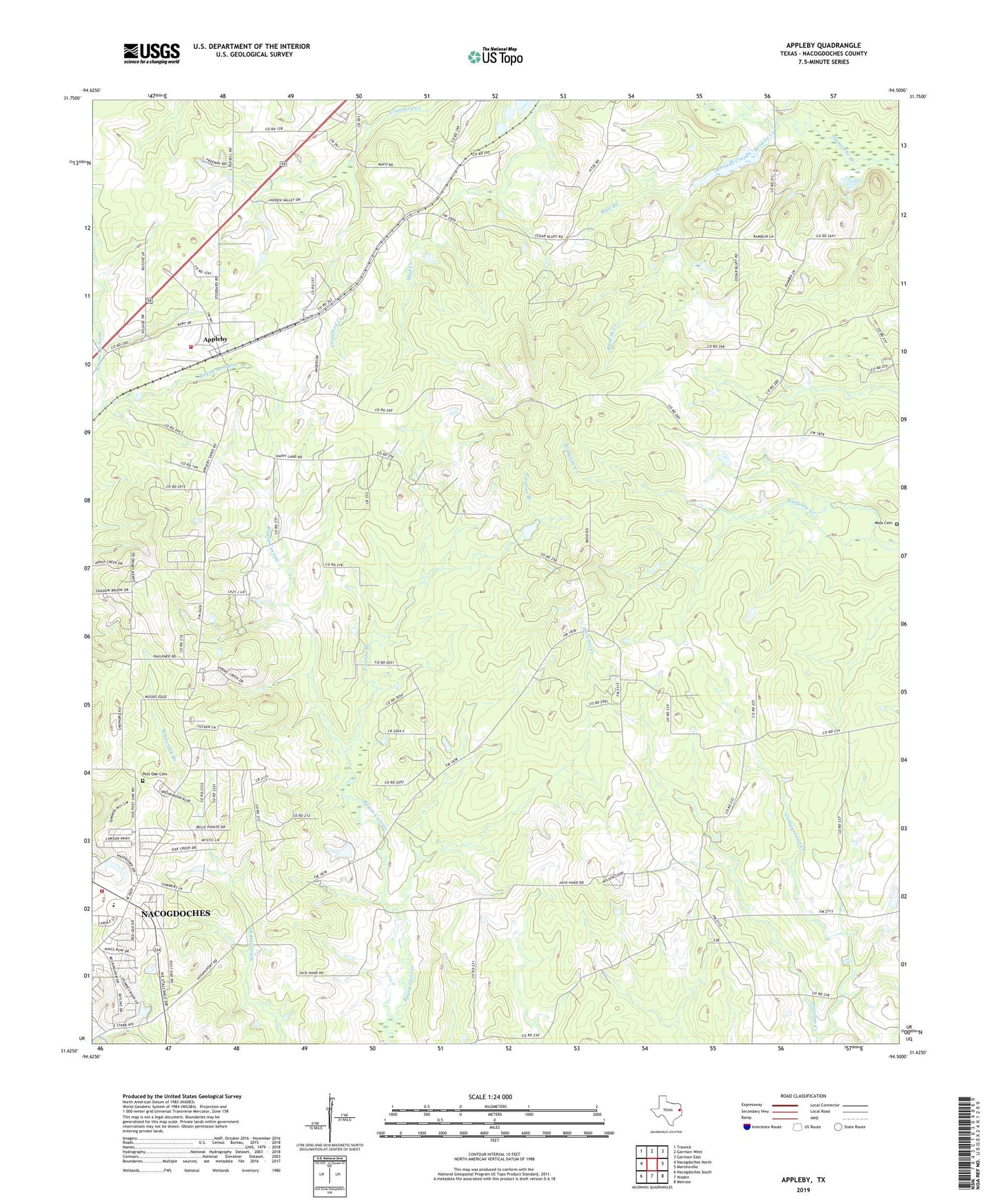
2022 topographic map quadrangle Appleby in the state of Texas. Scale: 1:24000. Based on the newly updated USGS 7.5' US Topo map series, this map is in the following counties: Nacogdoches. The map contains contour data, water features, and other items you are used to seeing on USGS maps, but also has updated roads and other features. This is the next generation of topographic maps. Printed on high-quality waterproof paper with UV fade-resistant inks.
Quads adjacent to this one:
West: Nacogdoches North
Northwest: Trawick
North: Garrison West
Northeast: Garrison East
East: Martinsville
Southeast: Melrose
South: Woden
Southwest: Nacogdoches South
This map covers the same area as the classic USGS quad with code o31094f5.
Contains the following named places: Appleby, Appleby Church, Appleby Volunteer Fire Department, Bethel Church, Browns Creek, Camel School, Campground Creek, Carrizo Branch, City of Appleby, Corinth Church, High Morning Church, Lard Branch, Moss Cemetery, Mud Branch, Nacogdoches Accelerated Learning Center, Nacogdoches Fire Department Station 4, Nacogdoches High School, Peterson Branch, Pine Bluff Church, Pisgah, Post Oak Cemetery, Red Branch, Shady Grove, Shady Grove Church, Soil Conservation Service Site 21 Dam, Soil Conservation Service Site 21 Reservoir